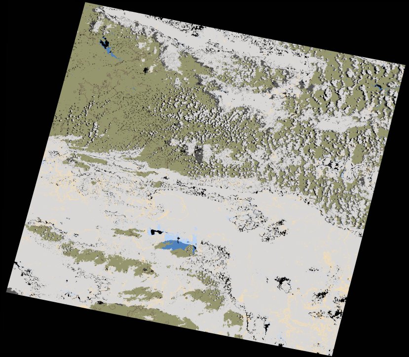
wofs_ls_171081_2021-12-20.stac-item
dataset of product wofs_ls
Indexed by odc_writer
,
created
Region
171081
for
20th December 2021
Fields 🔗
cloud_cover
55.88
collection_category
T1
creation_time
2023-05-04 09:14:11
crs_raw
•
data_coverage
•
dataset_version
1.0.0
eo_gsd
30.0
eo_sun_azimuth
83.56
eo_sun_elevation
61.564
format
GeoTIFF
id
48a864c0-7fc5-59bf-971e-d84bd49628c6
instrument
OLI_TIRS
label
•
lat
-31.355 to -29.26
lon
24.668 to 27.031
platform
landsat-9
product_family
wofs
region
•
region_code
171081
rmse
8.276
rmse_x
5.758
rmse_y
5.944
sat_orbit_state
•
sat_relative_orbit
•
time
2021-12-20 08:09:59 to 2021-12-20 08:09:59
Related Datasets 🔗
wofs_ls_171081_2021-12-20.stac-item