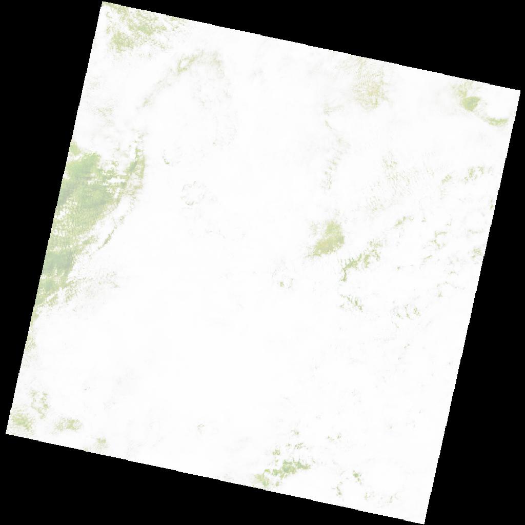
LC09_L2SP_176065_20211207_20230505_02_T2_SR_stac
dataset of product ls9_sr
Indexed by odc_writer
,
created
Region
176065
for
7th December 2021
Fields 🔗
cloud_cover
97.9
collection_category
T2
creation_time
2021-12-07 08:34:36
crs_raw
•
data_coverage
•
dataset_version
•
eo_gsd
•
eo_sun_azimuth
124.668
eo_sun_elevation
60.822
format
GeoTIFF
id
44579df9-ef3a-5e1b-ab94-05663c9994b7
instrument
OLI_TIRS
label
•
lat
-8.278 to -6.191
lon
22.455 to 24.48
platform
LANDSAT_9
product_family
•
region
•
region_code
176065
rmse
nan
rmse_x
nan
rmse_y
nan
sat_orbit_state
•
sat_relative_orbit
•
time
2021-12-07 08:34:36 to 2021-12-07 08:34:36
Related Datasets 🔗
LC09_L2SP_176065_20211207_20230505_02_T2_SR_stac