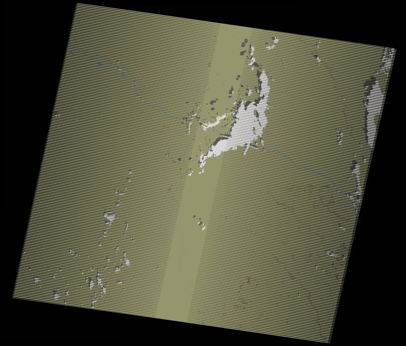
wofs_ls_202050_2007-12-07.stac-item
dataset of product wofs_ls
Indexed by odc_writer
,
created
Region
202050
for
7th December 2007
Fields 🔗
cloud_cover
3.0
collection_category
T1
creation_time
2021-09-01 04:27:49
crs_raw
•
data_coverage
•
dataset_version
1.0.0
eo_gsd
30.0
eo_sun_azimuth
145.901
eo_sun_elevation
45.456
format
GeoTIFF
id
431a5917-5cca-5885-af5e-d6946f234324
instrument
ETM
label
•
lat
13.53 to 15.392
lon
-13.131 to -11.029
platform
landsat-7
product_family
wofs
region
•
region_code
202050
rmse
4.233
rmse_x
2.761
rmse_y
3.208
sat_orbit_state
•
sat_relative_orbit
•
time
2007-12-07 10:59:11 to 2007-12-07 10:59:11
Related Datasets 🔗
wofs_ls_202050_2007-12-07.stac-item