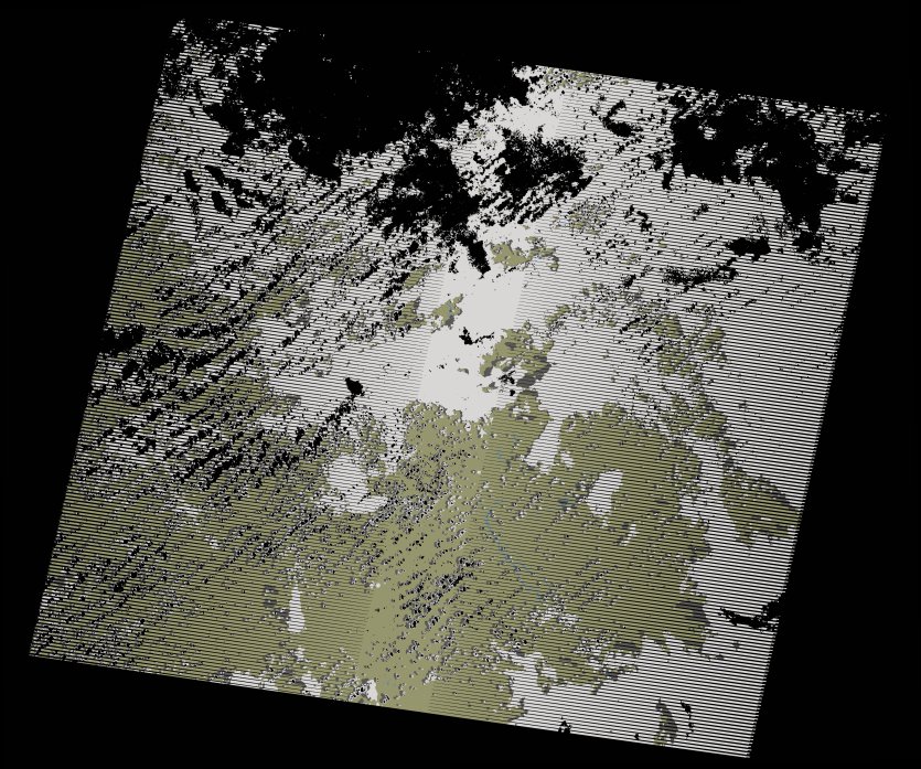
wofs_ls_175071_2019-02-10.stac-item
dataset of product wofs_ls
Indexed by odc_writer
,
created
Region
175071
for
10th February 2019
Fields 🔗
cloud_cover
57.0
collection_category
T1
creation_time
2021-09-01 02:21:29
crs_raw
•
data_coverage
•
dataset_version
1.0.0
eo_gsd
30.0
eo_sun_azimuth
92.074
eo_sun_elevation
56.911
format
GeoTIFF
id
422c5f92-9feb-5cbe-bfa8-3583fa6f5021
instrument
ETM
label
•
lat
-16.83 to -14.964
lon
22.092 to 24.251
platform
landsat-7
product_family
wofs
region
•
region_code
175071
rmse
4.57
rmse_x
3.192
rmse_y
3.271
sat_orbit_state
•
sat_relative_orbit
•
time
2019-02-10 08:24:24 to 2019-02-10 08:24:24
Related Datasets 🔗
wofs_ls_175071_2019-02-10.stac-item