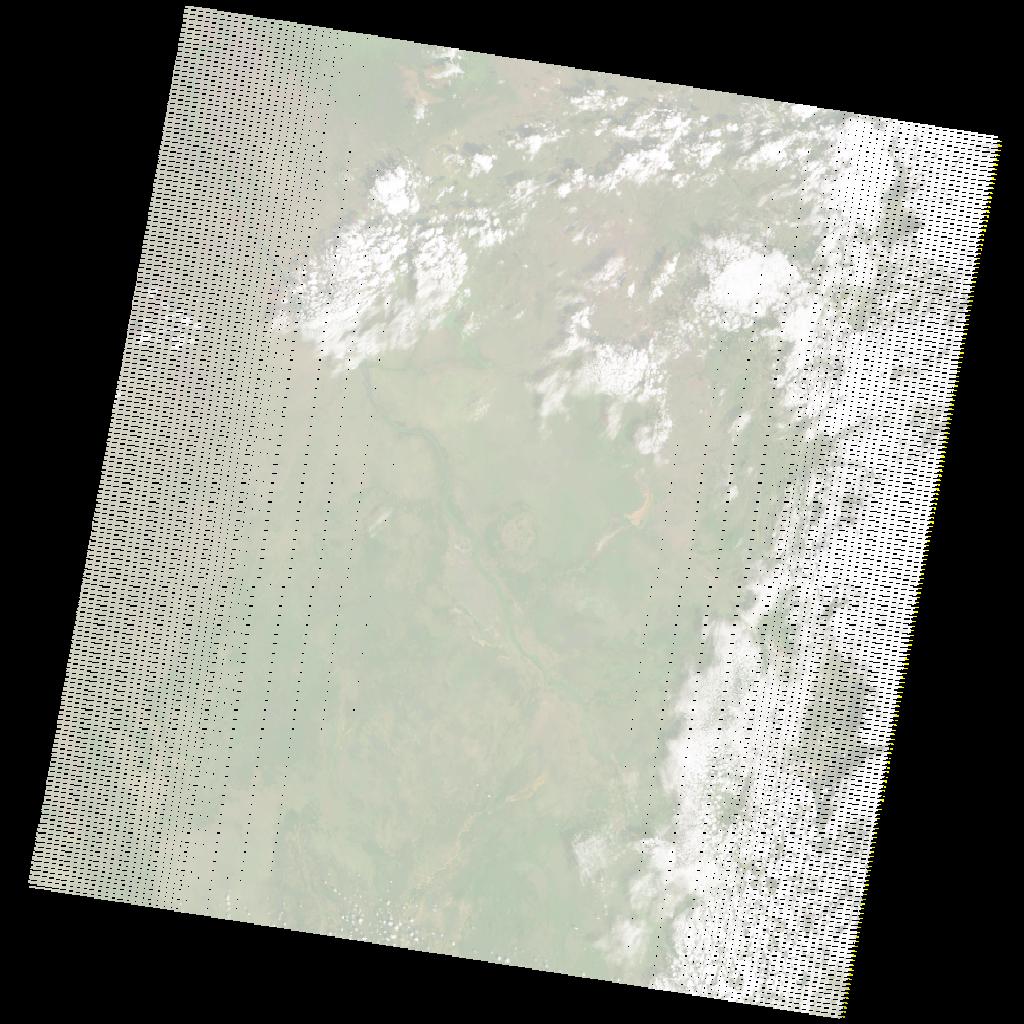
LE07_L2SP_171056_20201201_20201227_02_T1_SR_stac
dataset of product ls7_sr
Indexed by odc_writer
,
created
Region
171056
for
1st December 2020
Fields 🔗
cloud_cover
22.0
collection_category
T1
creation_time
2020-12-01 07:20:28
crs_raw
•
data_coverage
•
dataset_version
•
eo_gsd
•
eo_sun_azimuth
131.474
eo_sun_elevation
47.306
format
GeoTIFF
id
3eb837e6-20be-5963-a1e7-f4c6cee81343
instrument
ETM
label
•
lat
4.864 to 6.722
lon
32.932 to 35.015
platform
LANDSAT_7
product_family
•
region
•
region_code
171056
rmse
7.18
rmse_x
5.026
rmse_y
5.127
sat_orbit_state
•
sat_relative_orbit
•
time
2020-12-01 07:20:28 to 2020-12-01 07:20:28
Related Datasets 🔗
LE07_L2SP_171056_20201201_20201227_02_T1_SR_stac