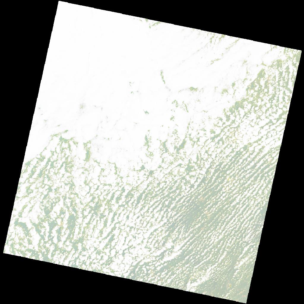
LC09_L2SP_195055_20211101_20230507_02_T2_SR_stac
dataset of product ls9_sr
Indexed by odc_writer
,
created
Region
195055
for
1st November 2021
Fields 🔗
cloud_cover
73.78
collection_category
T2
creation_time
2021-11-01 10:27:43
crs_raw
•
data_coverage
•
dataset_version
•
eo_gsd
•
eo_sun_azimuth
135.186
eo_sun_elevation
59.265
format
GeoTIFF
id
3e1f1e44-9b43-51f2-9dcb-53a8f2692680
instrument
OLI_TIRS
label
•
lat
6.182 to 8.271
lon
-3.889 to -1.885
platform
LANDSAT_9
product_family
•
region
•
region_code
195055
rmse
nan
rmse_x
nan
rmse_y
nan
sat_orbit_state
•
sat_relative_orbit
•
time
2021-11-01 10:27:43 to 2021-11-01 10:27:43
Related Datasets 🔗
LC09_L2SP_195055_20211101_20230507_02_T2_SR_stac