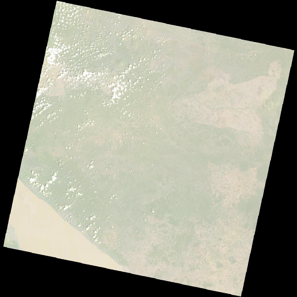
LC09_L2SP_170065_20211229_20230503_02_T1_SR_stac
dataset of product ls9_sr
Indexed by odc_writer
,
created
Region
170065
for
29th December 2021
Fields 🔗
cloud_cover
3.54
collection_category
T1
creation_time
2021-12-29 07:57:25
crs_raw
•
data_coverage
•
dataset_version
•
eo_gsd
•
eo_sun_azimuth
123.494
eo_sun_elevation
58.4
format
GeoTIFF
id
3bf257d2-9644-5f9f-9165-e0953a312428
instrument
OLI_TIRS
label
•
lat
-8.278 to -6.191
lon
31.749 to 33.772
platform
LANDSAT_9
product_family
•
region
•
region_code
170065
rmse
8.049
rmse_x
5.515
rmse_y
5.862
sat_orbit_state
•
sat_relative_orbit
•
time
2021-12-29 07:57:25 to 2021-12-29 07:57:25
Related Datasets 🔗
LC09_L2SP_170065_20211229_20230503_02_T1_SR_stac