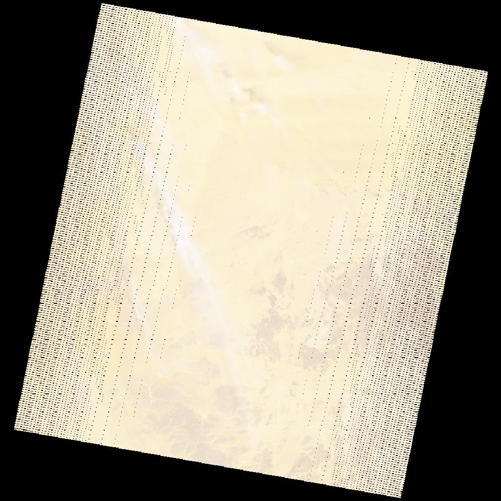
LE07_L2SP_190046_20031021_20200915_02_T1_SR_stac
dataset of product ls7_sr
Indexed by odc_writer
,
created
Region
190046
for
21st October 2003
Fields 🔗
cloud_cover
1.0
collection_category
T1
creation_time
2003-10-21 09:41:28
crs_raw
•
data_coverage
•
dataset_version
•
eo_gsd
•
eo_sun_azimuth
141.586
eo_sun_elevation
51.693
format
GeoTIFF
id
3b9c429a-0c38-5b82-a4e7-6b8abece6fdb
instrument
ETM
label
•
lat
19.286 to 21.17
lon
6.73 to 8.857
platform
LANDSAT_7
product_family
•
region
•
region_code
190046
rmse
4.211
rmse_x
2.683
rmse_y
3.246
sat_orbit_state
•
sat_relative_orbit
•
time
2003-10-21 09:41:28 to 2003-10-21 09:41:28
Related Datasets 🔗
LE07_L2SP_190046_20031021_20200915_02_T1_SR_stac