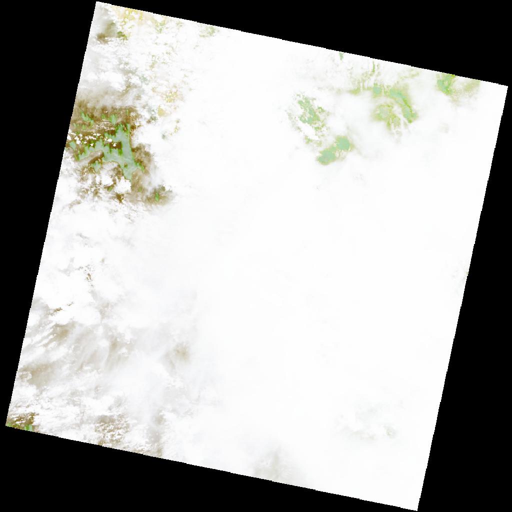
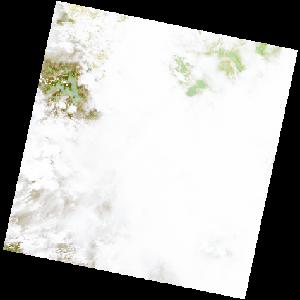
LC09_L2SP_182067_20221204_20221207_02_T2_SR_stac
dataset of product ls9_sr
Indexed by odc_writer
,
created
Region
182067
for
4th December 2022
Fields 🔗
cloud_cover
99.99
collection_category
T2
creation_time
2022-12-04 09:12:31
crs_raw
•
data_coverage
•
dataset_version
•
eo_gsd
•
eo_sun_azimuth
119.332
eo_sun_elevation
62.48
format
GeoTIFF
id
3b0552d4-8e69-5e74-b4db-90c09e6f6bf9
instrument
OLI_TIRS
label
•
lat
-11.169 to -9.082
lon
12.576 to 14.621
platform
LANDSAT_9
product_family
•
region
•
region_code
182067
rmse
nan
rmse_x
nan
rmse_y
nan
sat_orbit_state
•
sat_relative_orbit
•
time
2022-12-04 09:12:31 to 2022-12-04 09:12:31
Related Datasets 🔗
LC09_L2SP_182067_20221204_20221207_02_T2_SR_stac