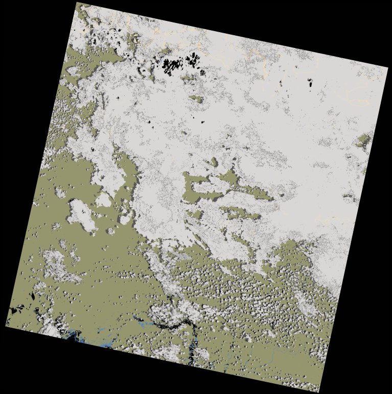
wofs_ls_171067_2024-01-27.stac-item
dataset of product wofs_ls
Indexed by odc_writer
,
created
Region
171067
for
27th January 2024
Fields 🔗
cloud_cover
56.29
collection_category
T1
creation_time
2024-02-23 05:38:31
crs_raw
•
data_coverage
•
dataset_version
1.0.0
eo_gsd
30.0
eo_sun_azimuth
109.079
eo_sun_elevation
58.418
format
GeoTIFF
id
3a349b64-7192-5367-9422-43c5e2d2f53a
instrument
OLI_TIRS
label
•
lat
-11.169 to -9.082
lon
29.56 to 31.603
platform
landsat-9
product_family
wofs
region
•
region_code
171067
rmse
8.571
rmse_x
5.758
rmse_y
6.348
sat_orbit_state
•
sat_relative_orbit
•
time
2024-01-27 08:04:22 to 2024-01-27 08:04:22
Related Datasets 🔗
wofs_ls_171067_2024-01-27.stac-item