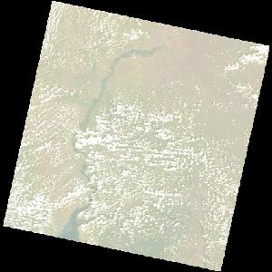
LC09_L2SP_172058_20211227_20230503_02_T1_SR_stac
dataset of product ls9_sr
Indexed by odc_writer
,
created
Region
172058
for
27th December 2021
Fields 🔗
cloud_cover
15.91
collection_category
T1
creation_time
2021-12-27 08:07:00
crs_raw
•
data_coverage
•
dataset_version
•
eo_gsd
•
eo_sun_azimuth
136.632
eo_sun_elevation
53.084
format
GeoTIFF
id
3a0bafca-8324-5f87-b789-1e4ec0a56d8d
instrument
OLI_TIRS
label
•
lat
1.845 to 3.932
lon
30.825 to 32.83
platform
LANDSAT_9
product_family
•
region
•
region_code
172058
rmse
8.332
rmse_x
5.538
rmse_y
6.225
sat_orbit_state
•
sat_relative_orbit
•
time
2021-12-27 08:07:00 to 2021-12-27 08:07:00
Related Datasets 🔗
LC09_L2SP_172058_20211227_20230503_02_T1_SR_stac