Fields 🔗
cloud_cover
0.0
collection_category
T1
creation_time
2022-01-20 13:56:49
crs_raw
•
data_coverage
•
dataset_version
1.1.0
eo_gsd
30.0
eo_sun_azimuth
141.481
eo_sun_elevation
32.996
format
GeoTIFF
id
395c2807-929c-53e7-9da8-fe6b2f799a72
instrument
TM
label
•
lat
23.6 to 25.484
lon
4.724 to 6.923
platform
landsat-5
product_family
fc
region
•
region_code
192043
rmse
9.831
rmse_x
6.798
rmse_y
7.102
sat_orbit_state
•
sat_relative_orbit
•
time
1997-01-11 09:27:50 to 1997-01-11 09:27:50
Related Datasets 🔗
Location 🔗
s3://deafrica-services/fc_ls/1-1-0/192/043/1997/01/11/fc_ls_192043_1997-01-11.stac-item.json
| bs | fc_ls_192043_1997-01-11_bs.tif |
|---|---|
| checksum:sha1 | fc_ls_192043_1997-01-11.sha1 |
| metadata:processor | fc_ls_192043_1997-01-11.proc-info.yaml |
| npv | fc_ls_192043_1997-01-11_npv.tif |
| pv | fc_ls_192043_1997-01-11_pv.tif |
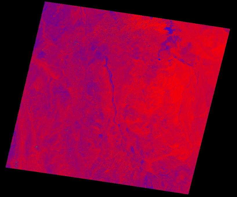
| thumbnail | fc_ls_192043_1997-01-11_thumbnail.jpg |
| ue | fc_ls_192043_1997-01-11_ue.tif |