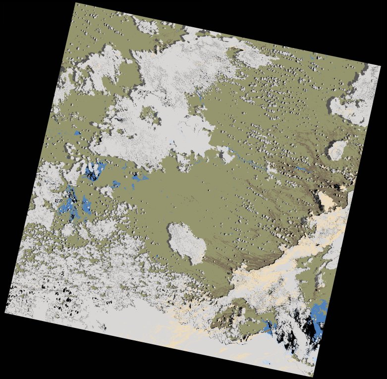
wofs_ls_172071_2024-01-18.stac-item
dataset of product wofs_ls
Indexed by odc_writer
,
created
Region
172071
for
18th January 2024
Fields 🔗
cloud_cover
39.3
collection_category
T1
creation_time
2024-02-23 05:37:45
crs_raw
•
data_coverage
•
dataset_version
1.0.0
eo_gsd
30.0
eo_sun_azimuth
103.761
eo_sun_elevation
59.536
format
GeoTIFF
id
393bdf75-d33b-5021-ba05-c8ace92fe33c
instrument
OLI_TIRS
label
•
lat
-16.948 to -14.86
lon
26.713 to 28.81
platform
landsat-9
product_family
wofs
region
•
region_code
172071
rmse
8.46
rmse_x
6.036
rmse_y
5.928
sat_orbit_state
•
sat_relative_orbit
•
time
2024-01-18 08:12:09 to 2024-01-18 08:12:09
Related Datasets 🔗
wofs_ls_172071_2024-01-18.stac-item