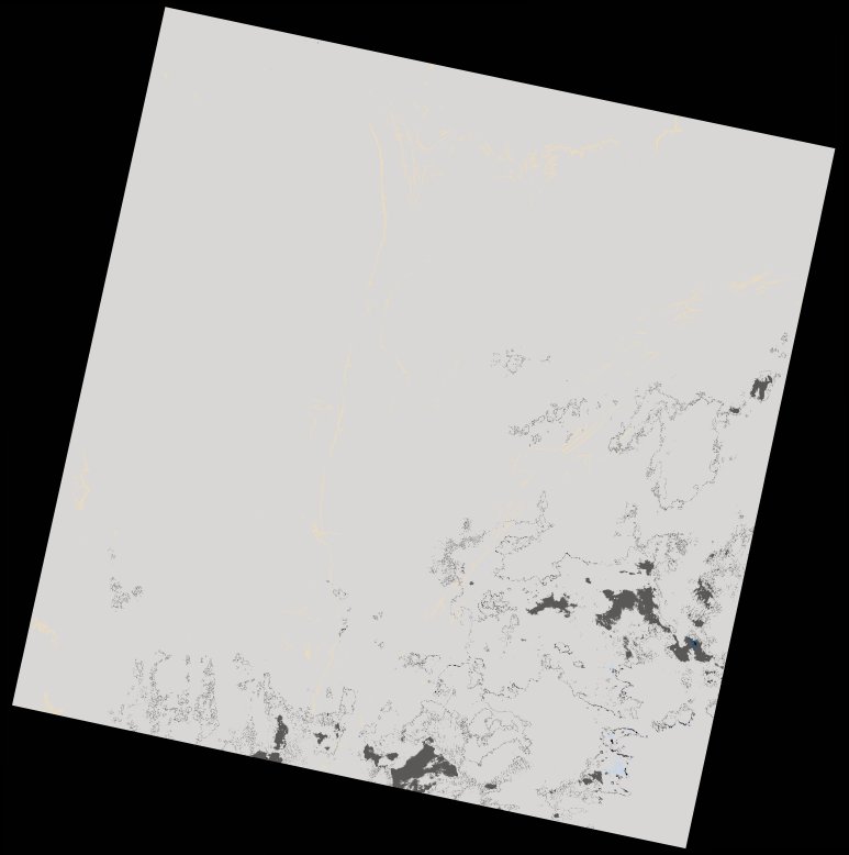
wofs_ls_172067_2022-01-28.stac-item
dataset of product wofs_ls
Indexed by odc_writer
,
created
Region
172067
for
28th January 2022
Fields 🔗
cloud_cover
96.5
collection_category
T2
creation_time
2023-04-30 07:39:29
crs_raw
•
data_coverage
•
dataset_version
1.0.0
eo_gsd
30.0
eo_sun_azimuth
108.333
eo_sun_elevation
58.431
format
GeoTIFF
id
37db7f57-f46a-5703-868a-1efa9419c9c3
instrument
OLI_TIRS
label
•
lat
-11.169 to -9.082
lon
28.016 to 30.06
platform
landsat-9
product_family
wofs
region
•
region_code
172067
rmse
nan
rmse_x
nan
rmse_y
nan
sat_orbit_state
•
sat_relative_orbit
•
time
2022-01-28 08:10:34 to 2022-01-28 08:10:34
Related Datasets 🔗
wofs_ls_172067_2022-01-28.stac-item