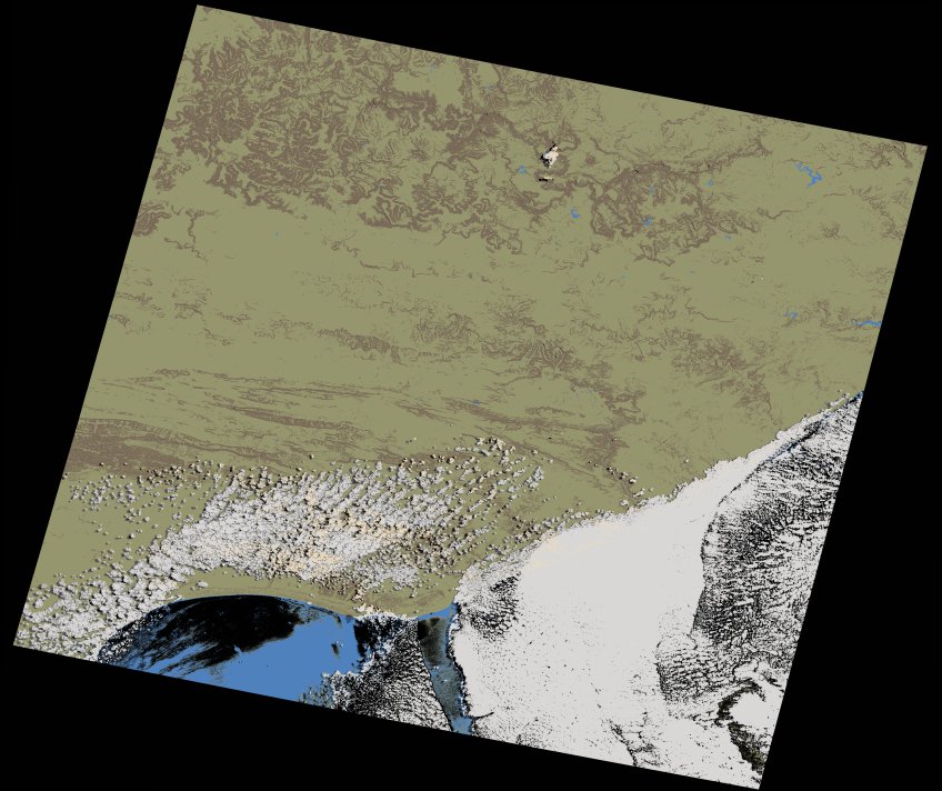
wofs_ls_170083_2024-02-21.stac-item
dataset of product wofs_ls
Indexed by odc_writer
,
created
Region
170083
for
21st February 2024
Fields 🔗
cloud_cover
21.68
collection_category
T1
creation_time
2024-03-12 08:50:23
crs_raw
•
data_coverage
•
dataset_version
1.0.0
eo_gsd
30.0
eo_sun_azimuth
63.836
eo_sun_elevation
50.331
format
GeoTIFF
id
375d69f2-a7ed-5bac-b986-9d3562ecd18d
instrument
OLI_TIRS
label
•
lat
-34.227 to -32.129
lon
25.407 to 27.855
platform
landsat-9
product_family
wofs
region
•
region_code
170083
rmse
6.254
rmse_x
4.177
rmse_y
4.655
sat_orbit_state
•
sat_relative_orbit
•
time
2024-02-21 08:04:25 to 2024-02-21 08:04:25
Related Datasets 🔗
wofs_ls_170083_2024-02-21.stac-item