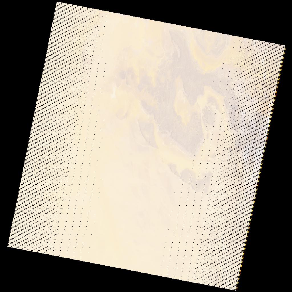
LE07_L2SP_195043_20231012_20231107_02_T1_SR_stac
dataset of product ls7_sr
Indexed by odc_writer
,
created
Region
195043
for
12th October 2023
Fields 🔗
cloud_cover
1.0
collection_category
T1
creation_time
2023-10-12 08:01:21
crs_raw
•
data_coverage
•
dataset_version
•
eo_gsd
•
eo_sun_azimuth
113.407
eo_sun_elevation
27.571
format
GeoTIFF
id
36b858e6-39e8-5bb3-8d13-e334740fae9c
instrument
ETM
label
•
lat
23.635 to 25.515
lon
0.079 to 2.346
platform
LANDSAT_7
product_family
•
region
•
region_code
195043
rmse
4.33
rmse_x
2.882
rmse_y
3.231
sat_orbit_state
•
sat_relative_orbit
•
time
2023-10-12 08:01:21 to 2023-10-12 08:01:21
Related Datasets 🔗
LE07_L2SP_195043_20231012_20231107_02_T1_SR_stac