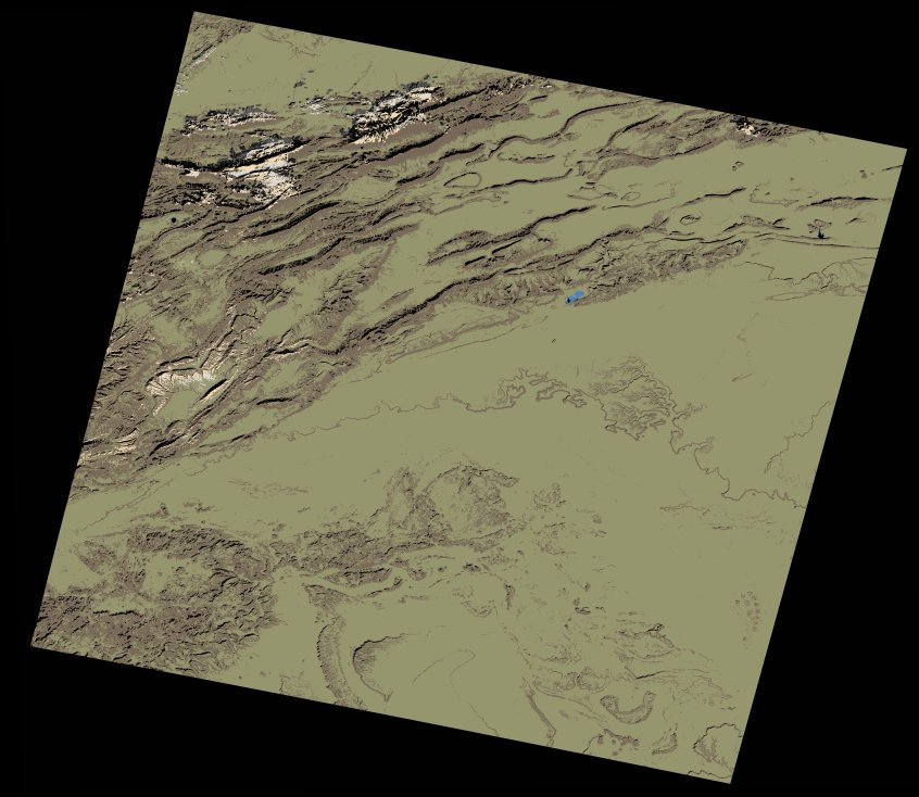
wofs_ls_200038_2023-01-19.stac-item
dataset of product wofs_ls
Indexed by odc_writer
,
created
Region
200038
for
19th January 2023
Fields 🔗
cloud_cover
0.55
collection_category
T1
creation_time
2023-03-13 10:57:14
crs_raw
•
data_coverage
•
dataset_version
1.0.0
eo_gsd
30.0
eo_sun_azimuth
152.548
eo_sun_elevation
32.915
format
GeoTIFF
id
361aae21-8c86-568e-a2b4-5c5873ecf7b8
instrument
OLI_TIRS
label
•
lat
30.686 to 32.785
lon
-5.93 to -3.55
platform
landsat-9
product_family
wofs
region
•
region_code
200038
rmse
5.458
rmse_x
3.469
rmse_y
4.214
sat_orbit_state
•
sat_relative_orbit
•
time
2023-01-19 10:52:05 to 2023-01-19 10:52:05
Related Datasets 🔗
wofs_ls_200038_2023-01-19.stac-item