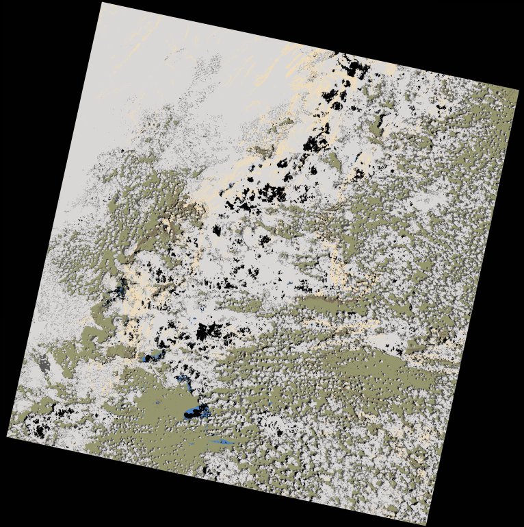
wofs_ls_174067_2022-12-28.stac-item
dataset of product wofs_ls
Indexed by odc_writer
,
created
Region
174067
for
28th December 2022
Fields 🔗
cloud_cover
60.01
collection_category
T2
creation_time
2022-12-30 16:02:44
crs_raw
•
data_coverage
•
dataset_version
1.0.0
eo_gsd
30.0
eo_sun_azimuth
119.329
eo_sun_elevation
59.677
format
GeoTIFF
id
34d37670-7141-50d6-b192-14ab8f850cdd
instrument
OLI_TIRS
label
•
lat
-11.169 to -9.082
lon
24.933 to 26.977
platform
landsat-9
product_family
wofs
region
•
region_code
174067
rmse
12.85
rmse_x
8.56
rmse_y
9.584
sat_orbit_state
•
sat_relative_orbit
•
time
2022-12-28 08:23:05 to 2022-12-28 08:23:05
Related Datasets 🔗
wofs_ls_174067_2022-12-28.stac-item