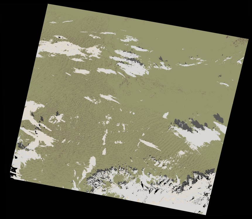
wofs_ls_187041_2021-11-17.stac-item
dataset of product wofs_ls
Indexed by odc_writer
,
created
Region
187041
for
17th November 2021
Fields 🔗
cloud_cover
5.51
collection_category
T1
creation_time
2023-05-06 07:40:04
crs_raw
•
data_coverage
•
dataset_version
1.0.0
eo_gsd
30.0
eo_sun_azimuth
154.416
eo_sun_elevation
39.358
format
GeoTIFF
id
32abeeef-3fd7-5975-a12c-35031c8eda06
instrument
OLI_TIRS
label
•
lat
26.383 to 28.471
lon
11.605 to 13.974
platform
landsat-9
product_family
wofs
region
•
region_code
187041
rmse
6.58
rmse_x
5.722
rmse_y
3.249
sat_orbit_state
•
sat_relative_orbit
•
time
2021-11-17 09:30:56 to 2021-11-17 09:30:56
Related Datasets 🔗
wofs_ls_187041_2021-11-17.stac-item