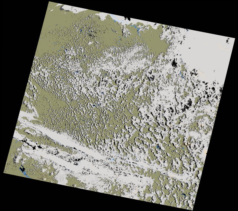
wofs_ls_171080_2021-12-20.stac-item
dataset of product wofs_ls
Indexed by odc_writer
,
created
Region
171080
for
20th December 2021
Fields 🔗
cloud_cover
46.25
collection_category
T1
creation_time
2023-05-04 09:02:52
crs_raw
•
data_coverage
•
dataset_version
1.0.0
eo_gsd
30.0
eo_sun_azimuth
86.049
eo_sun_elevation
61.931
format
GeoTIFF
id
313f76eb-4189-510c-9439-19dc43137946
instrument
OLI_TIRS
label
•
lat
-29.917 to -27.823
lon
25.061 to 27.386
platform
landsat-9
product_family
wofs
region
•
region_code
171080
rmse
9.463
rmse_x
6.728
rmse_y
6.655
sat_orbit_state
•
sat_relative_orbit
•
time
2021-12-20 08:09:35 to 2021-12-20 08:09:35
Related Datasets 🔗
wofs_ls_171080_2021-12-20.stac-item