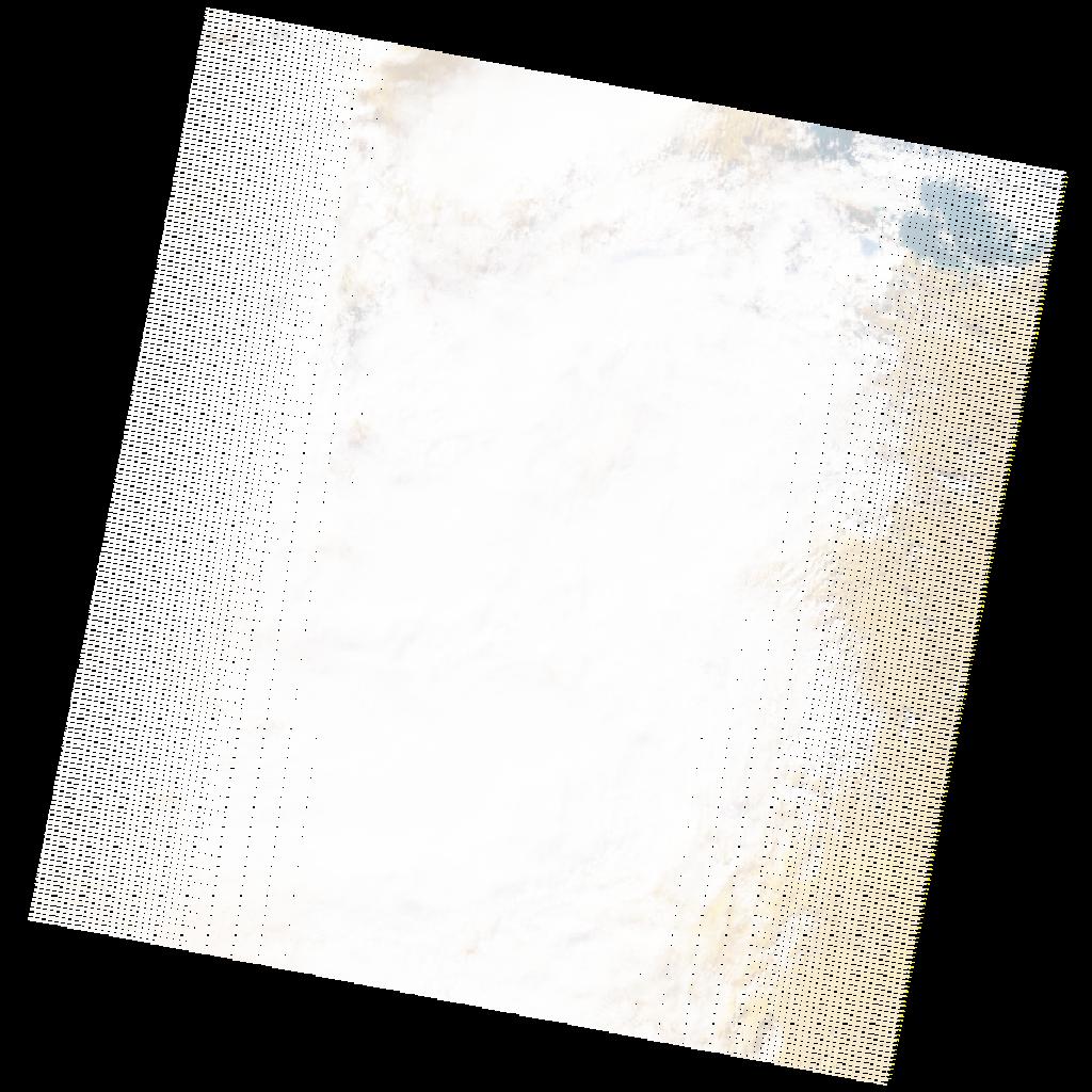
LE07_L2SP_191037_20200112_20200822_02_T1_SR_stac
dataset of product ls7_sr
Indexed by odc_writer
,
created
Region
191037
for
12th January 2020
Fields 🔗
cloud_cover
86.0
collection_category
T1
creation_time
2020-01-12 09:36:05
crs_raw
•
data_coverage
•
dataset_version
•
eo_gsd
•
eo_sun_azimuth
149.596
eo_sun_elevation
28.743
format
GeoTIFF
id
311eef9f-e813-5218-a0c0-2dd06f95156d
instrument
ETM
label
•
lat
32.237 to 34.138
lon
8.236 to 10.732
platform
LANDSAT_7
product_family
•
region
•
region_code
191037
rmse
4.401
rmse_x
2.862
rmse_y
3.343
sat_orbit_state
•
sat_relative_orbit
•
time
2020-01-12 09:36:05 to 2020-01-12 09:36:05
Related Datasets 🔗
LE07_L2SP_191037_20200112_20200822_02_T1_SR_stac