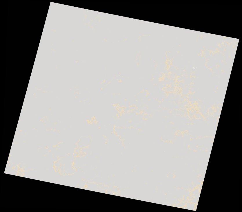
wofs_ls_172081_2021-12-27.stac-item
dataset of product wofs_ls
Indexed by odc_writer
,
created
Region
172081
for
27th December 2021
Fields 🔗
cloud_cover
100.0
collection_category
T2
creation_time
2022-02-14 23:47:36
crs_raw
•
data_coverage
•
dataset_version
1.0.0
eo_gsd
30.0
eo_sun_azimuth
83.915
eo_sun_elevation
60.777
format
GeoTIFF
id
2f50501b-303f-5878-8476-ed1818bed51a
instrument
OLI_TIRS
label
•
lat
-31.355 to -29.26
lon
23.12 to 25.483
platform
landsat-9
product_family
wofs
region
•
region_code
172081
rmse
nan
rmse_x
nan
rmse_y
nan
sat_orbit_state
•
sat_relative_orbit
•
time
2021-12-27 08:16:10 to 2021-12-27 08:16:10
Related Datasets 🔗
wofs_ls_172081_2021-12-27.stac-item