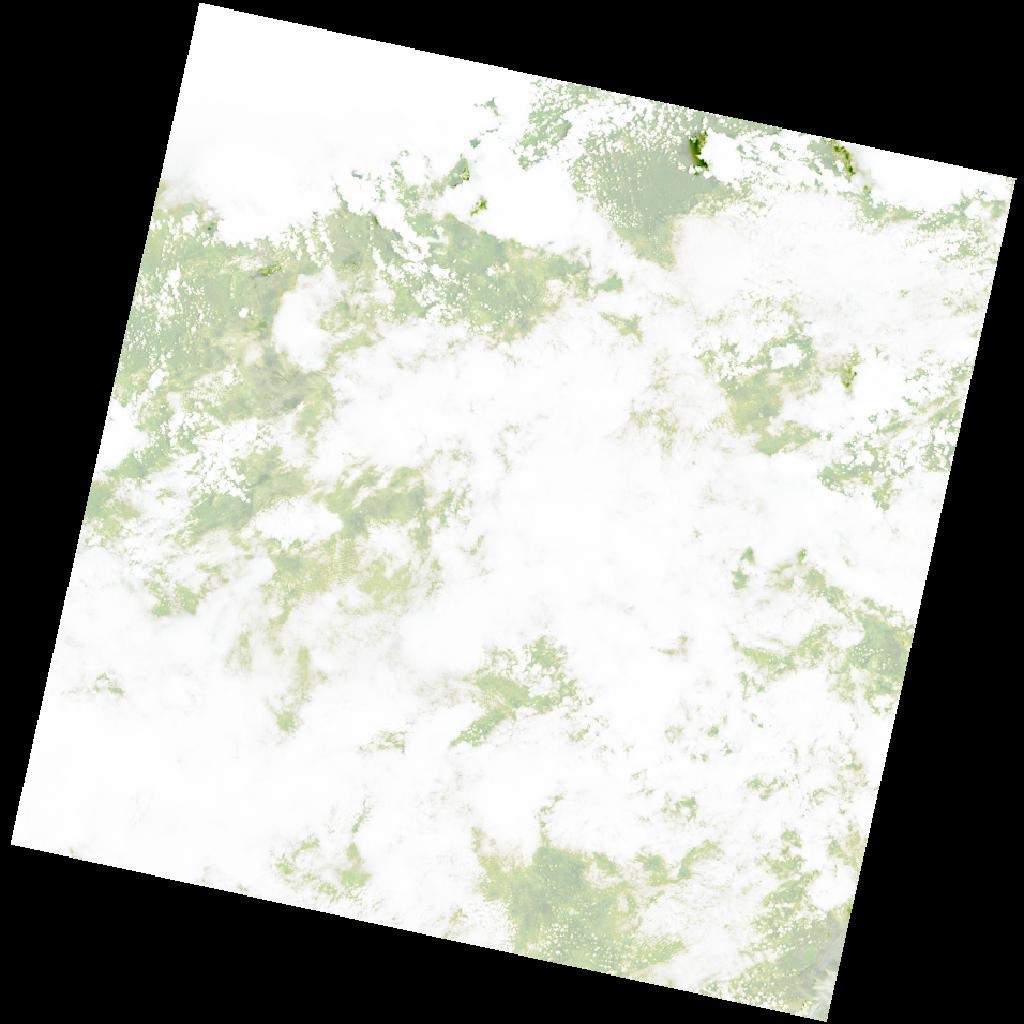
LC09_L2SP_172067_20220213_20220215_02_T2_SR_stac
dataset of product ls9_sr
Indexed by odc_writer
,
created
Region
172067
for
13th February 2022
Fields 🔗
cloud_cover
88.97
collection_category
T2
creation_time
2022-02-13 08:10:30
crs_raw
•
data_coverage
•
dataset_version
•
eo_gsd
•
eo_sun_azimuth
99.027
eo_sun_elevation
58.649
format
GeoTIFF
id
2f2ebe0c-42f7-51a3-92ee-b7e10a10336a
instrument
OLI_TIRS
label
•
lat
-11.169 to -9.082
lon
28.019 to 30.062
platform
LANDSAT_9
product_family
•
region
•
region_code
172067
rmse
nan
rmse_x
nan
rmse_y
nan
sat_orbit_state
•
sat_relative_orbit
•
time
2022-02-13 08:10:30 to 2022-02-13 08:10:30
Related Datasets 🔗
LC09_L2SP_172067_20220213_20220215_02_T2_SR_stac