wofs_ls_170053_2022-09-11.stac-item
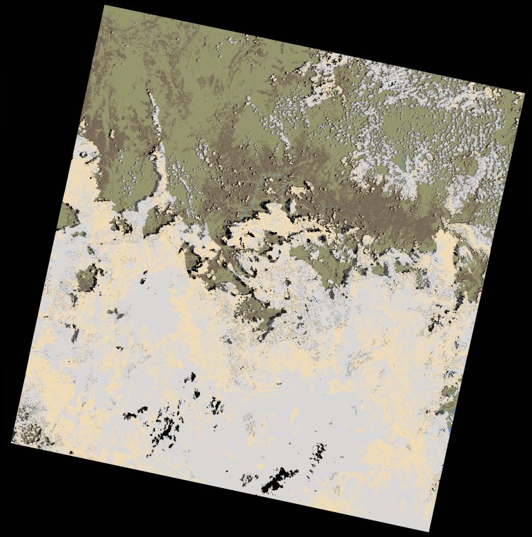
dataset of product wofs_ls
Indexed by odc_writer
,
created
Region
170053
for
11th September 2022
Fields 🔗
cloud_cover
57.52
collection_category
T1
creation_time
2023-03-29 19:06:51
crs_raw
•
data_coverage
•
dataset_version
1.0.0
eo_gsd
30.0
eo_sun_azimuth
101.168
eo_sun_elevation
65.02
format
GeoTIFF
id
2d515509-933f-537b-a23f-f2dda7a57134
instrument
OLI_TIRS
label
•
lat
9.074 to 11.162
lon
35.454 to 37.489
platform
landsat-9
product_family
wofs
region
•
region_code
170053
rmse
8.98
rmse_x
6.643
rmse_y
6.042
sat_orbit_state
•
sat_relative_orbit
•
time
2022-09-11 07:52:36 to 2022-09-11 07:52:36
Related Datasets 🔗
wofs_ls_170053_2022-09-11.stac-item