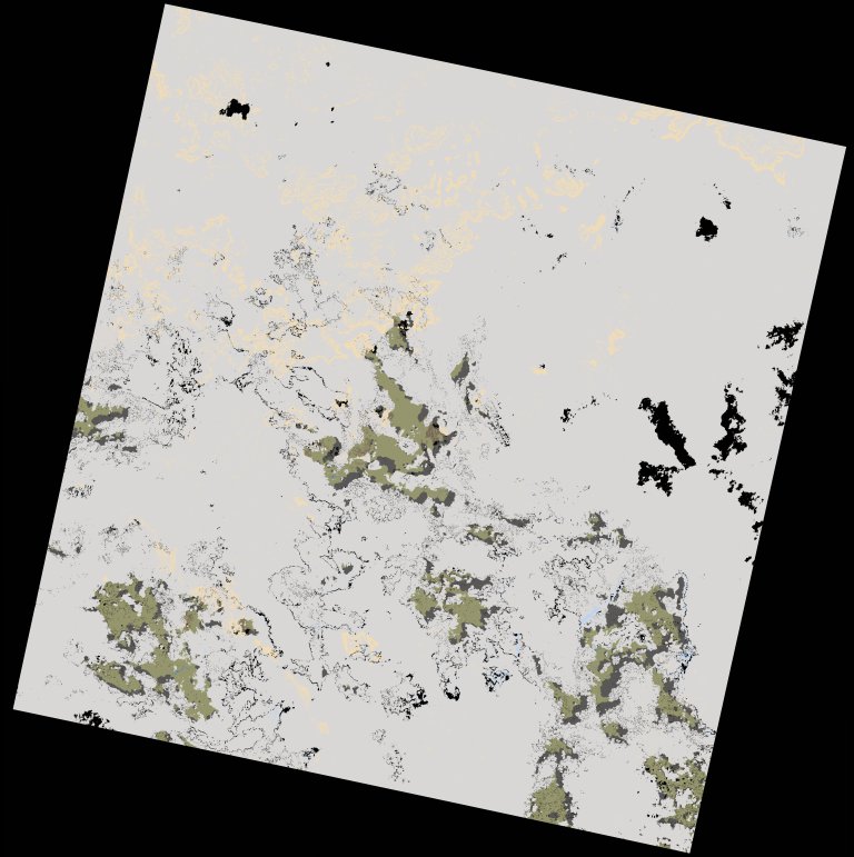
wofs_ls_200052_2022-10-15.stac-item
dataset of product wofs_ls
Indexed by odc_writer
,
created
Region
200052
for
15th October 2022
Fields 🔗
cloud_cover
89.68
collection_category
T1
creation_time
2023-03-25 23:44:06
crs_raw
•
data_coverage
•
dataset_version
1.0.0
eo_gsd
30.0
eo_sun_azimuth
132.289
eo_sun_elevation
60.553
format
GeoTIFF
id
2c836547-3501-59a8-949f-125abe33b862
instrument
OLI_TIRS
label
•
lat
10.518 to 12.607
lon
-10.605 to -8.556
platform
landsat-9
product_family
wofs
region
•
region_code
200052
rmse
9.95
rmse_x
6.524
rmse_y
7.512
sat_orbit_state
•
sat_relative_orbit
•
time
2022-10-15 10:57:48 to 2022-10-15 10:57:48
Related Datasets 🔗
wofs_ls_200052_2022-10-15.stac-item