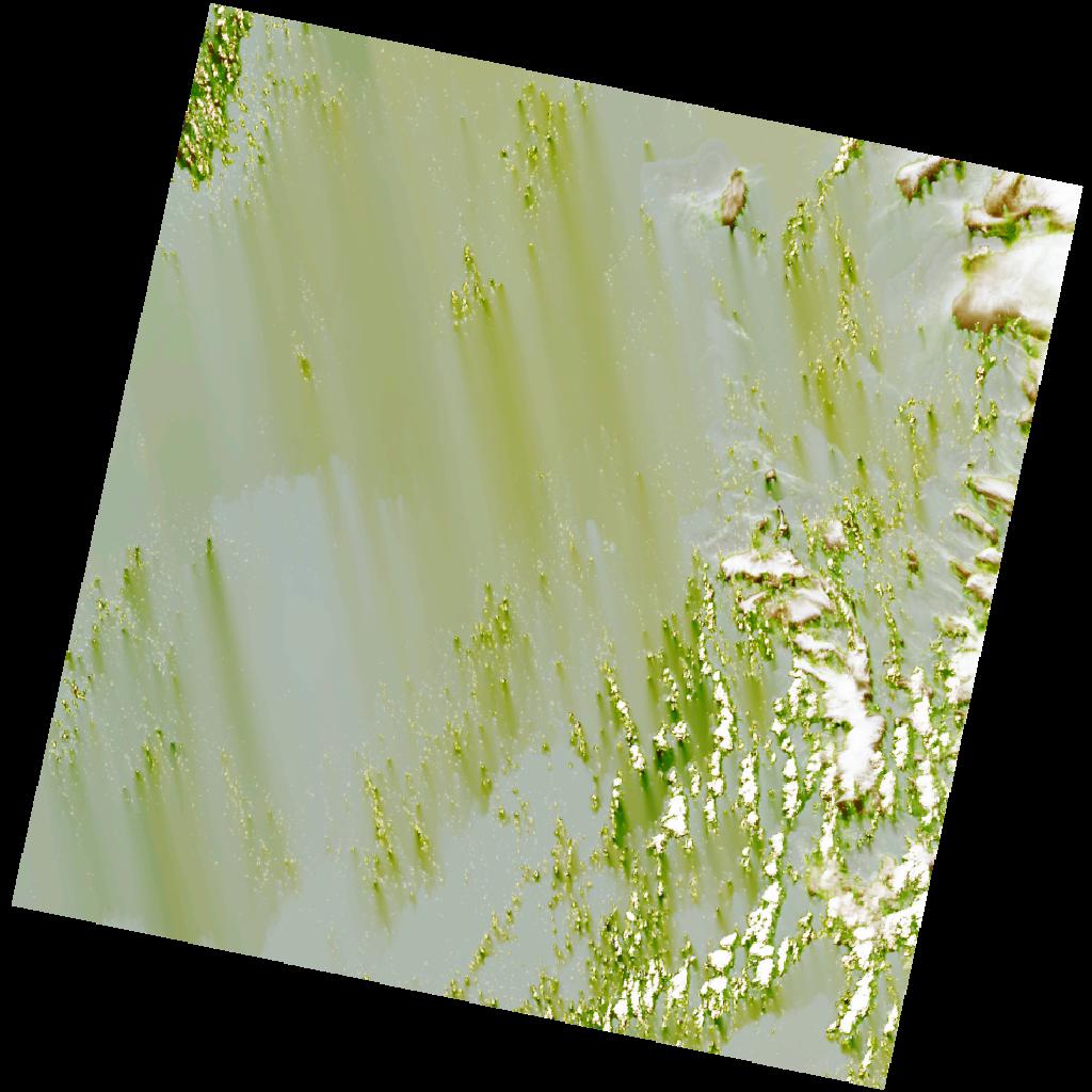
LC09_L2SP_192057_20211207_20220120_02_T2_SR_stac
dataset of product ls9_sr
Indexed by odc_writer
,
created
Region
192057
for
7th December 2021
Fields 🔗
cloud_cover
14.33
collection_category
T2
creation_time
2021-12-07 10:10:17
crs_raw
•
data_coverage
•
dataset_version
•
eo_gsd
•
eo_sun_azimuth
139.926
eo_sun_elevation
54.186
format
GeoTIFF
id
2c20eb98-0c04-5243-8bc9-ac554adbddb8
instrument
OLI_TIRS
label
•
lat
3.291 to 5.379
lon
0.206 to 2.218
platform
LANDSAT_9
product_family
•
region
•
region_code
192057
rmse
nan
rmse_x
nan
rmse_y
nan
sat_orbit_state
•
sat_relative_orbit
•
time
2021-12-07 10:10:17 to 2021-12-07 10:10:17
Related Datasets 🔗
LC09_L2SP_192057_20211207_20220120_02_T2_SR_stac