wofs_ls_193052_2022-12-01.stac-item
dataset of product wofs_ls
Indexed by odc_writer
,
created
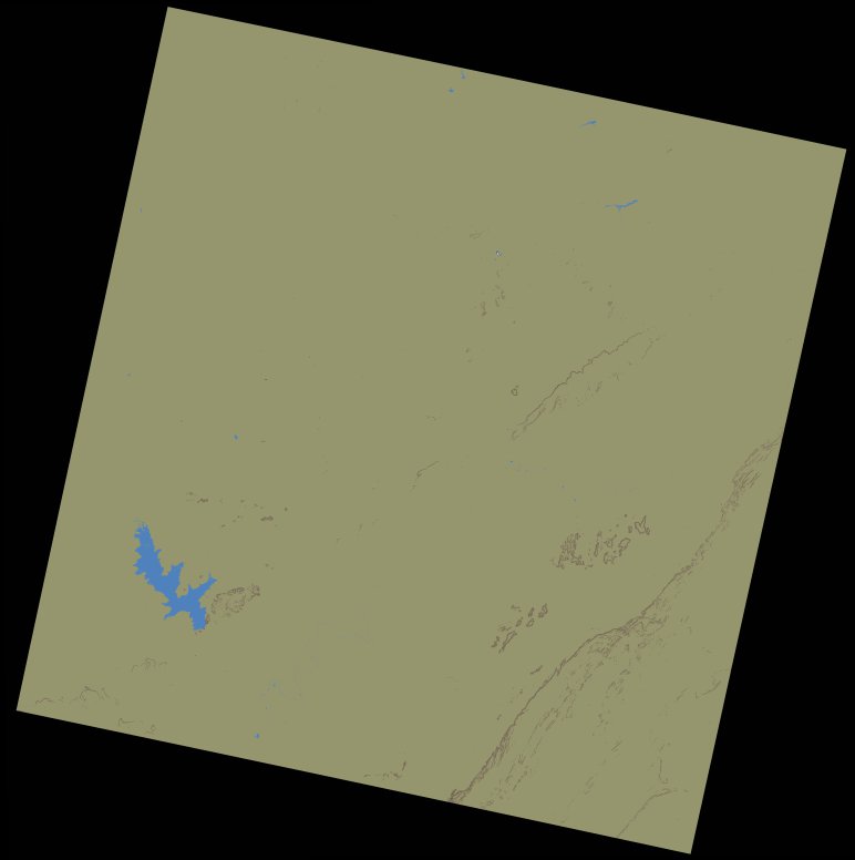
Region
193052
for
1st December 2022
Fields 🔗
cloud_cover
0.0
collection_category
T1
creation_time
2023-03-19 23:01:15
crs_raw
•
data_coverage
•
dataset_version
1.0.0
eo_gsd
30.0
eo_sun_azimuth
146.637
eo_sun_elevation
50.039
format
GeoTIFF
id
2b2040e1-8370-575e-8b46-805b109ec806
instrument
OLI_TIRS
label
•
lat
10.518 to 12.607
lon
0.233 to 2.281
platform
landsat-9
product_family
wofs
region
•
region_code
193052
rmse
4.982
rmse_x
3.36
rmse_y
3.678
sat_orbit_state
•
sat_relative_orbit
•
time
2022-12-01 10:14:30 to 2022-12-01 10:14:30
Related Datasets 🔗
wofs_ls_193052_2022-12-01.stac-item