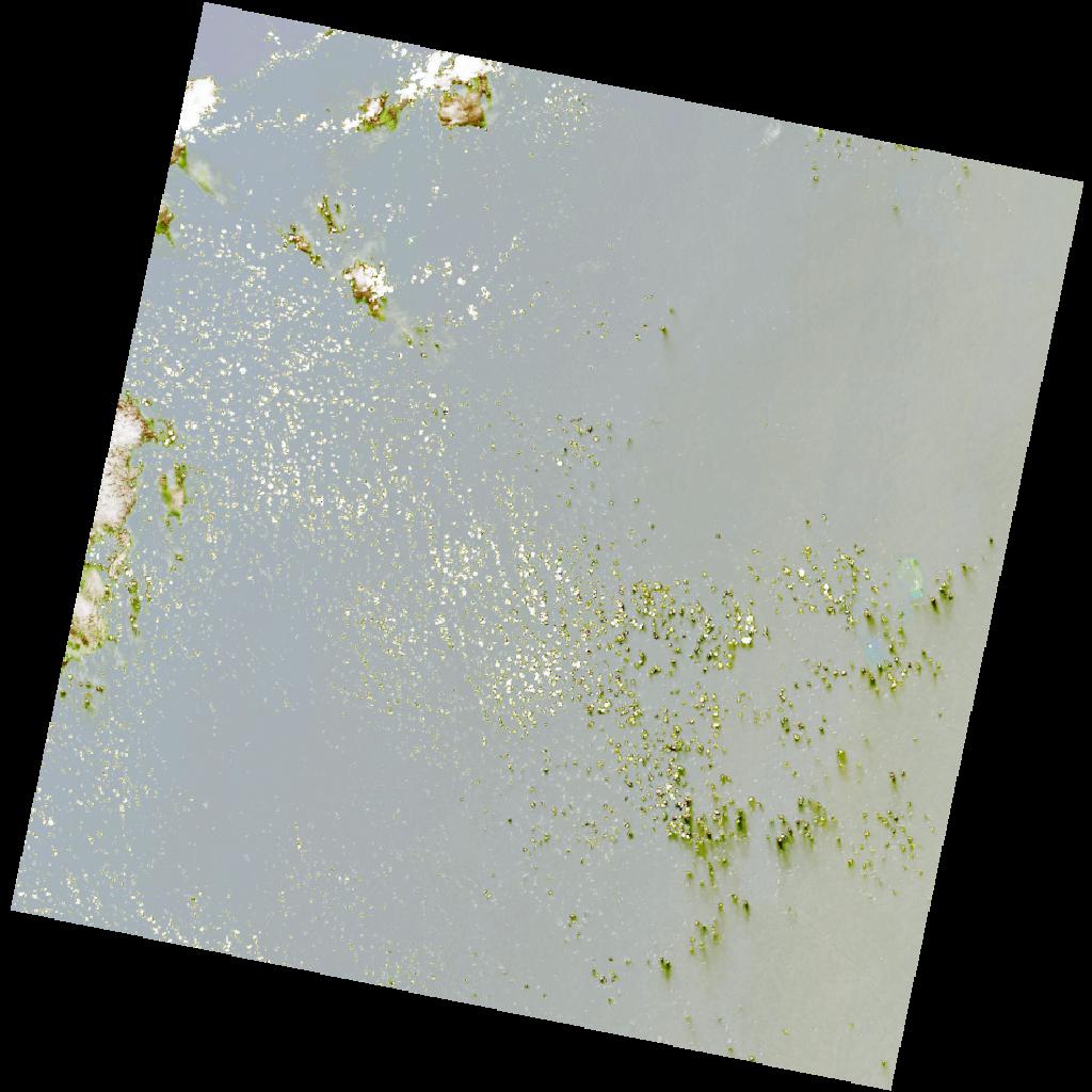
LC09_L2SP_156064_20211211_20220120_02_T2_SR_stac
dataset of product ls9_sr
Indexed by odc_writer
,
created
Region
156064
for
11th December 2021
Fields 🔗
cloud_cover
7.89
collection_category
T2
creation_time
2021-12-11 06:30:33
crs_raw
•
data_coverage
•
dataset_version
•
eo_gsd
•
eo_sun_azimuth
127.164
eo_sun_elevation
59.609
format
GeoTIFF
id
2ad34163-51c8-58f6-9907-654b09cd75f5
instrument
OLI_TIRS
label
•
lat
-6.833 to -4.745
lon
53.68 to 55.7
platform
LANDSAT_9
product_family
•
region
•
region_code
156064
rmse
15.765
rmse_x
6.591
rmse_y
14.321
sat_orbit_state
•
sat_relative_orbit
•
time
2021-12-11 06:30:33 to 2021-12-11 06:30:33
Related Datasets 🔗
LC09_L2SP_156064_20211211_20220120_02_T2_SR_stac