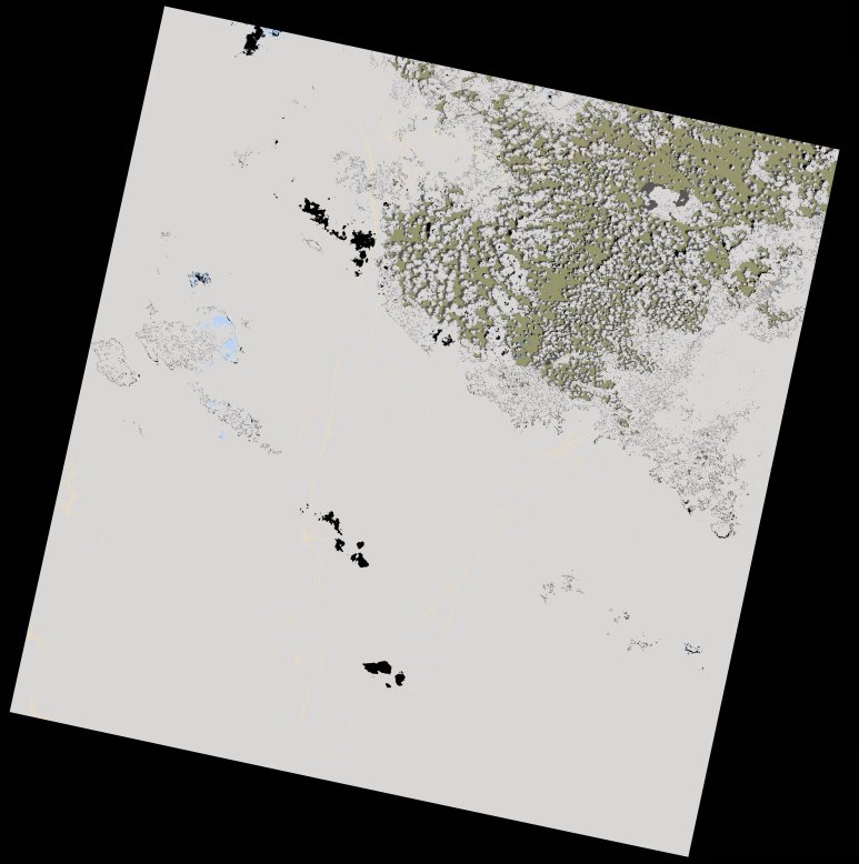
wofs_ls_172067_2022-12-22.stac-item
dataset of product wofs_ls
Indexed by odc_writer
,
created
Region
172067
for
22nd December 2022


Fields 🔗
cloud_cover
87.94
collection_category
T2
creation_time
2022-12-28 03:05:41
crs_raw
•
data_coverage
•
dataset_version
1.0.0
eo_gsd
30.0
eo_sun_azimuth
120.138
eo_sun_elevation
60.267
format
GeoTIFF
id
2ac6a50d-a38a-5fd5-ab3d-d39d00a49a24
instrument
OLI_TIRS
label
•
lat
-11.168 to -9.08
lon
28.045 to 30.082
platform
landsat-8
product_family
wofs
region
•
region_code
172067
rmse
nan
rmse_x
nan
rmse_y
nan
sat_orbit_state
•
sat_relative_orbit
•
time
2022-12-22 08:10:40 to 2022-12-22 08:10:40
Related Datasets 🔗
wofs_ls_172067_2022-12-22.stac-item