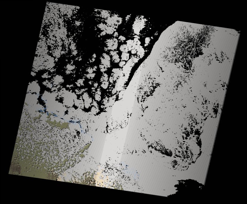
wofs_ls_170047_2018-02-20.stac-item
dataset of product wofs_ls
Indexed by odc_writer
,
created
Region
170047
for
20th February 2018
Fields 🔗
cloud_cover
71.0
collection_category
T1
creation_time
2021-09-01 03:52:01
crs_raw
•
data_coverage
•
dataset_version
1.0.0
eo_gsd
30.0
eo_sun_azimuth
135.728
eo_sun_elevation
50.007
format
GeoTIFF
id
26814f21-99d7-5b8d-ac8d-58545fb4584d
instrument
ETM
label
•
lat
17.851 to 19.729
lon
37.309 to 39.493
platform
landsat-7
product_family
wofs
region
•
region_code
170047
rmse
6.086
rmse_x
2.434
rmse_y
5.578
sat_orbit_state
•
sat_relative_orbit
•
time
2018-02-20 07:51:25 to 2018-02-20 07:51:25
Related Datasets 🔗
wofs_ls_170047_2018-02-20.stac-item