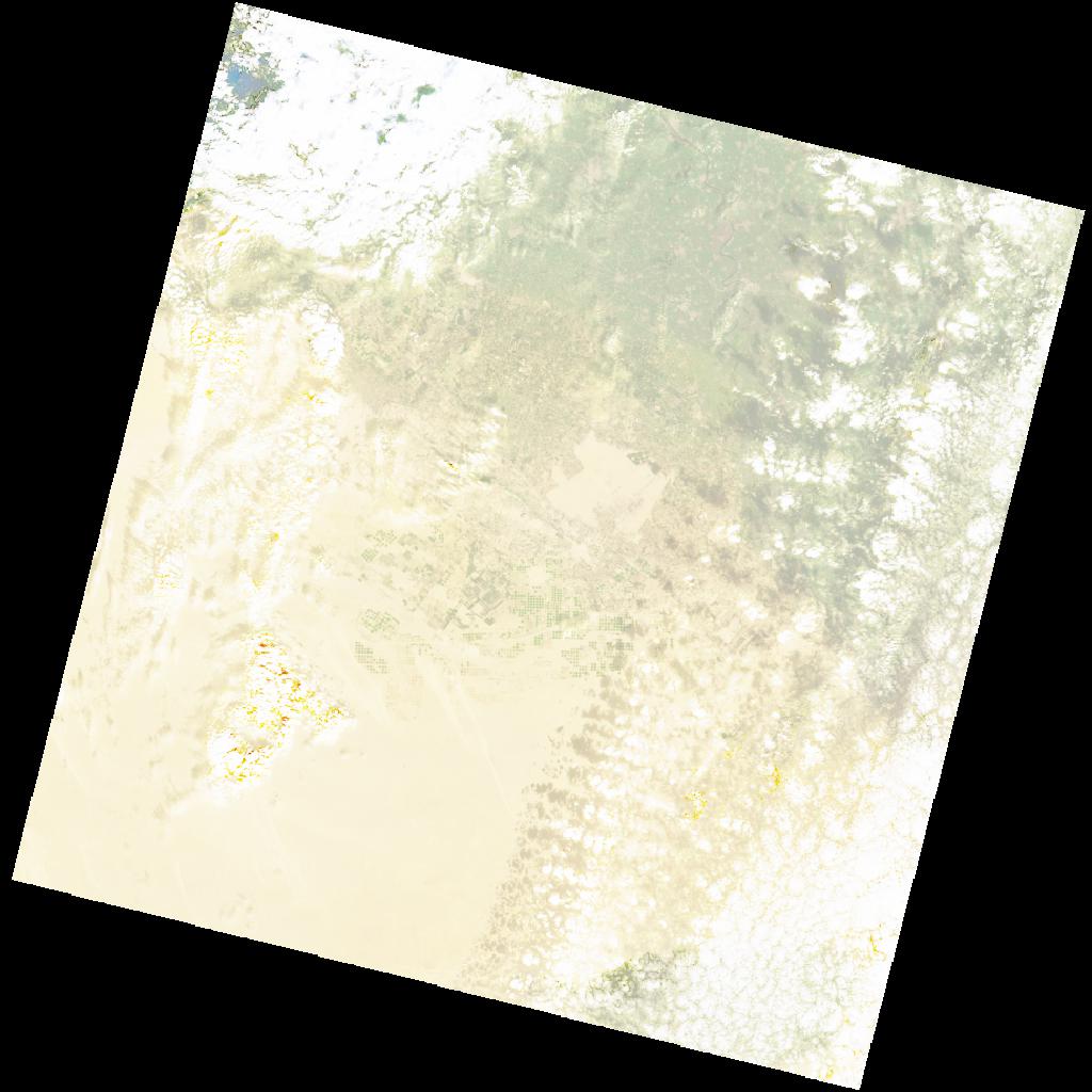
LC09_L2SP_177039_20211214_20220120_02_T1_SR_stac
dataset of product ls9_sr
Indexed by odc_writer
,
created
Region
177039
for
14th December 2021
Fields 🔗
cloud_cover
37.85
collection_category
T1
creation_time
2021-12-14 08:30:20
crs_raw
•
data_coverage
•
dataset_version
•
eo_gsd
•
eo_sun_azimuth
157.245
eo_sun_elevation
32.895
format
GeoTIFF
id
2555b325-43b7-586b-a249-ab0ebac141e4
instrument
OLI_TIRS
label
•
lat
29.25 to 31.349
lon
29.223 to 31.567
platform
LANDSAT_9
product_family
•
region
•
region_code
177039
rmse
8.148
rmse_x
5.447
rmse_y
6.06
sat_orbit_state
•
sat_relative_orbit
•
time
2021-12-14 08:30:20 to 2021-12-14 08:30:20
Related Datasets 🔗
LC09_L2SP_177039_20211214_20220120_02_T1_SR_stac