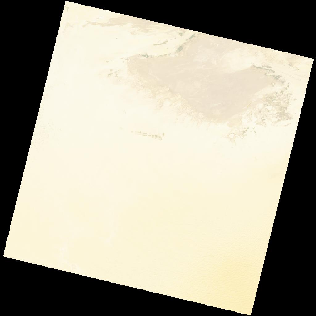
LC09_L2SP_192037_20221226_20221228_02_T1_SR_stac
dataset of product ls9_sr
Indexed by odc_writer
,
created
Region
192037
for
26th December 2022
Fields 🔗
cloud_cover
0.02
collection_category
T1
creation_time
2022-12-26 10:02:21
crs_raw
•
data_coverage
•
dataset_version
•
eo_gsd
•
eo_sun_azimuth
157.125
eo_sun_elevation
29.848
format
GeoTIFF
id
207ab454-10c1-59e0-b2fa-8554773862e7
instrument
OLI_TIRS
label
•
lat
32.119 to 34.221
lon
6.781 to 9.207
platform
LANDSAT_9
product_family
•
region
•
region_code
192037
rmse
5.83
rmse_x
4.801
rmse_y
3.308
sat_orbit_state
•
sat_relative_orbit
•
time
2022-12-26 10:02:21 to 2022-12-26 10:02:21
Related Datasets 🔗
LC09_L2SP_192037_20221226_20221228_02_T1_SR_stac