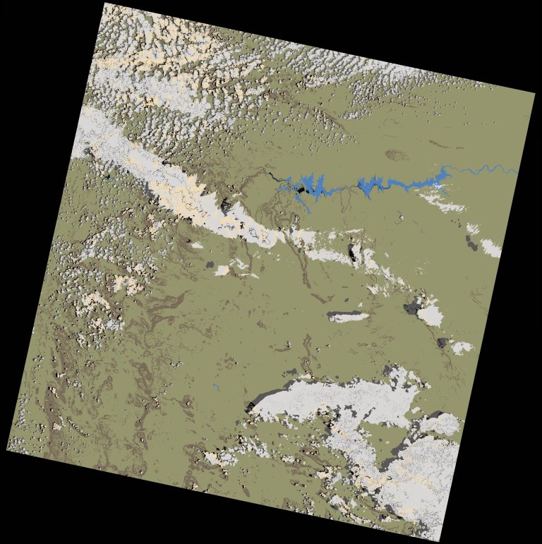
wofs_ls_181067_2022-01-27.stac-item
dataset of product wofs_ls
Indexed by odc_writer
,
created
Region
181067
for
27th January 2022
Fields 🔗
cloud_cover
16.43
collection_category
T1
creation_time
2023-04-30 09:05:13
crs_raw
•
data_coverage
•
dataset_version
1.0.0
eo_gsd
30.0
eo_sun_azimuth
108.821
eo_sun_elevation
58.428
format
GeoTIFF
id
200fa4d8-852d-5398-a1b4-6954e70efe6d
instrument
OLI_TIRS
label
•
lat
-11.169 to -9.082
lon
14.109 to 16.154
platform
landsat-9
product_family
wofs
region
•
region_code
181067
rmse
8.278
rmse_x
4.987
rmse_y
6.607
sat_orbit_state
•
sat_relative_orbit
•
time
2022-01-27 09:06:11 to 2022-01-27 09:06:11
Related Datasets 🔗
wofs_ls_181067_2022-01-27.stac-item