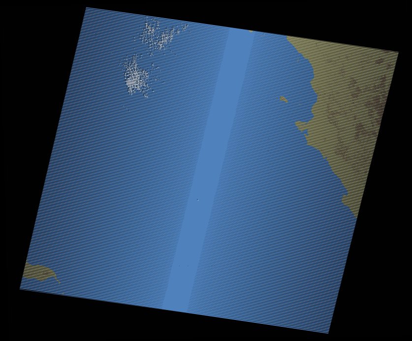
wofs_ls_172043_2005-10-12.stac-item
dataset of product wofs_ls
Indexed by odc_writer
,
created
Region
172043
for
12th October 2005
Fields 🔗
cloud_cover
0.0
collection_category
T1
creation_time
2021-09-01 04:00:06
crs_raw
•
data_coverage
•
dataset_version
1.0.0
eo_gsd
30.0
eo_sun_azimuth
142.636
eo_sun_elevation
51.102
format
GeoTIFF
id
1f67f61a-4cb2-5422-9940-feaee4bd916d
instrument
ETM
label
•
lat
23.607 to 25.502
lon
35.557 to 37.756
platform
landsat-7
product_family
wofs
region
•
region_code
172043
rmse
3.858
rmse_x
2.446
rmse_y
2.984
sat_orbit_state
•
sat_relative_orbit
•
time
2005-10-12 07:49:48 to 2005-10-12 07:49:48
Related Datasets 🔗
wofs_ls_172043_2005-10-12.stac-item