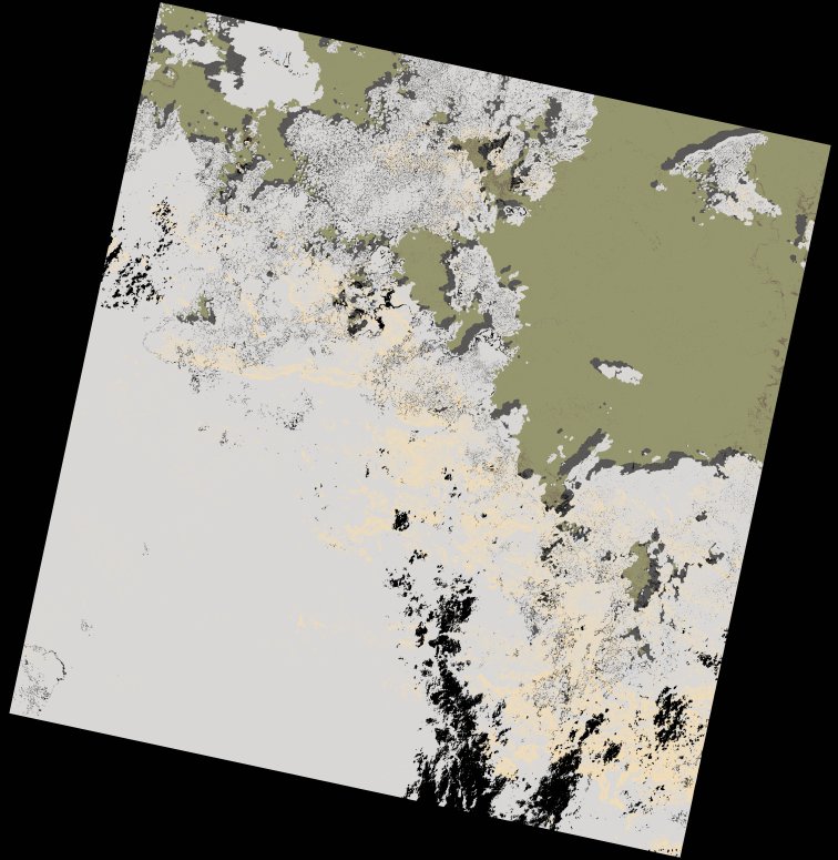
wofs_ls_175060_2023-01-20.stac-item
dataset of product wofs_ls
Indexed by odc_writer
,
created
Region
175060
for
20th January 2023
Fields 🔗
cloud_cover
71.05
collection_category
T1
creation_time
2023-01-22 06:32:42
crs_raw
•
data_coverage
•
dataset_version
1.0.0
eo_gsd
30.0
eo_sun_azimuth
126.666
eo_sun_elevation
54.767
format
GeoTIFF
id
1e992442-df11-5d78-b2d6-be942ae01542
instrument
OLI_TIRS
label
•
lat
-1.048 to 1.04
lon
25.6 to 27.607
platform
landsat-9
product_family
wofs
region
•
region_code
175060
rmse
5.872
rmse_x
4.281
rmse_y
4.019
sat_orbit_state
•
sat_relative_orbit
•
time
2023-01-20 08:26:19 to 2023-01-20 08:26:19
Related Datasets 🔗
wofs_ls_175060_2023-01-20.stac-item