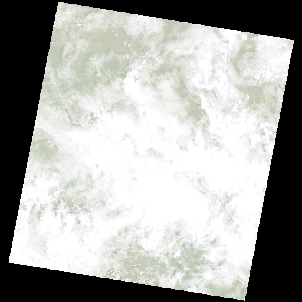
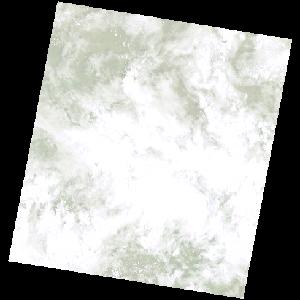
LE07_L2SP_170067_20030110_20200916_02_T2_SR_stac
dataset of product ls7_sr
Indexed by odc_writer
,
created
Region
170067
for
10th January 2003
Fields 🔗
cloud_cover
78.0
collection_category
T2
creation_time
2003-01-10 07:46:17
crs_raw
•
data_coverage
•
dataset_version
•
eo_gsd
•
eo_sun_azimuth
114.614
eo_sun_elevation
56.087
format
GeoTIFF
id
1e6a8b0f-c282-55e6-becb-f083dc78caa7
instrument
ETM
label
•
lat
-11.057 to -9.182
lon
31.122 to 33.149
platform
LANDSAT_7
product_family
•
region
•
region_code
170067
rmse
17.82
rmse_x
17.047
rmse_y
5.191
sat_orbit_state
•
sat_relative_orbit
•
time
2003-01-10 07:46:17 to 2003-01-10 07:46:17
Related Datasets 🔗
LE07_L2SP_170067_20030110_20200916_02_T2_SR_stac