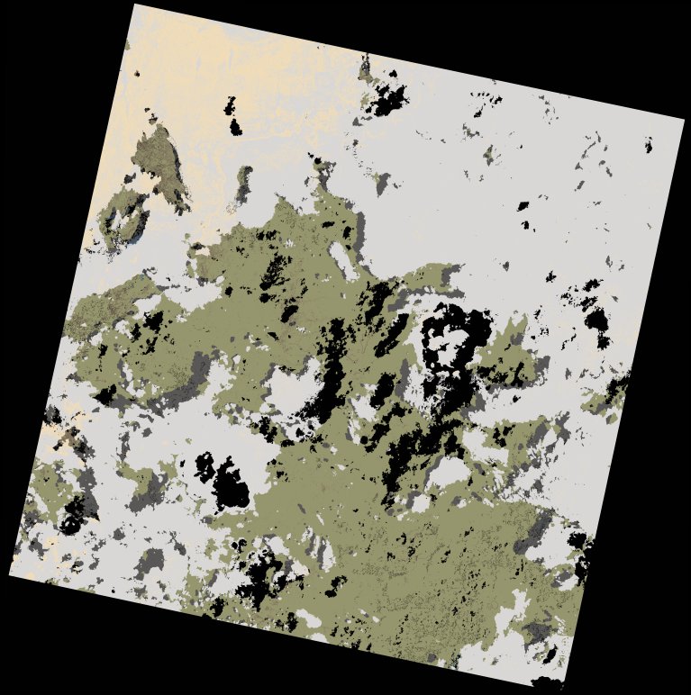
wofs_ls_167067_2022-12-27.stac-item
dataset of product wofs_ls
Indexed by odc_writer
,
created
Region
167067
for
27th December 2022
Fields 🔗
cloud_cover
47.15
collection_category
T2
creation_time
2023-03-16 22:32:29
crs_raw
•
data_coverage
•
dataset_version
1.0.0
eo_gsd
30.0
eo_sun_azimuth
119.501
eo_sun_elevation
59.769
format
GeoTIFF
id
1d682bfc-244f-5f9d-9019-638fad1a61b8
instrument
OLI_TIRS
label
•
lat
-11.169 to -9.082
lon
35.751 to 37.795
platform
landsat-9
product_family
wofs
region
•
region_code
167067
rmse
nan
rmse_x
nan
rmse_y
nan
sat_orbit_state
•
sat_relative_orbit
•
time
2022-12-27 07:39:49 to 2022-12-27 07:39:49
Related Datasets 🔗
wofs_ls_167067_2022-12-27.stac-item