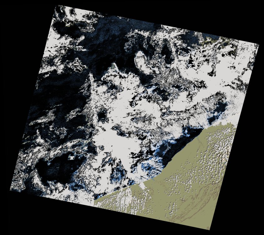
wofs_ls_204040_2022-10-11.stac-item
dataset of product wofs_ls
Indexed by odc_writer
,
created
Region
204040
for
11th October 2022
Fields 🔗
cloud_cover
43.78
collection_category
T1
creation_time
2022-10-13 08:04:13
crs_raw
•
data_coverage
•
dataset_version
1.0.0
eo_gsd
30.0
eo_sun_azimuth
150.125
eo_sun_elevation
49.646
format
GeoTIFF
id
1cd98f77-61ad-5a4d-92b4-78473ebb9621
instrument
OLI_TIRS
label
•
lat
27.814 to 29.911
lon
-12.854 to -10.544
platform
landsat-9
product_family
wofs
region
•
region_code
204040
rmse
6.42
rmse_x
4.406
rmse_y
4.67
sat_orbit_state
•
sat_relative_orbit
•
time
2022-10-11 11:17:42 to 2022-10-11 11:17:42
Related Datasets 🔗
wofs_ls_204040_2022-10-11.stac-item