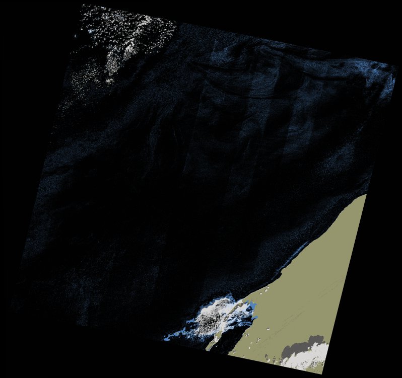
wofs_ls_206043_2021-11-20.stac-item
dataset of product wofs_ls
Indexed by odc_writer
,
created
Region
206043
for
20th November 2021
Fields 🔗
cloud_cover
1.64
collection_category
T1
creation_time
2023-05-06 01:38:19
crs_raw
•
data_coverage
•
dataset_version
1.0.0
eo_gsd
30.0
eo_sun_azimuth
155.044
eo_sun_elevation
41.743
format
GeoTIFF
id
1b31c91a-e8dc-5f0b-a3f4-9a832d5f940d
instrument
OLI_TIRS
label
•
lat
23.499 to 25.595
lon
-17.11 to -14.918
platform
landsat-9
product_family
wofs
region
•
region_code
206043
rmse
5.21
rmse_x
3.423
rmse_y
3.927
sat_orbit_state
•
sat_relative_orbit
•
time
2021-11-20 11:31:32 to 2021-11-20 11:31:32
Related Datasets 🔗
wofs_ls_206043_2021-11-20.stac-item