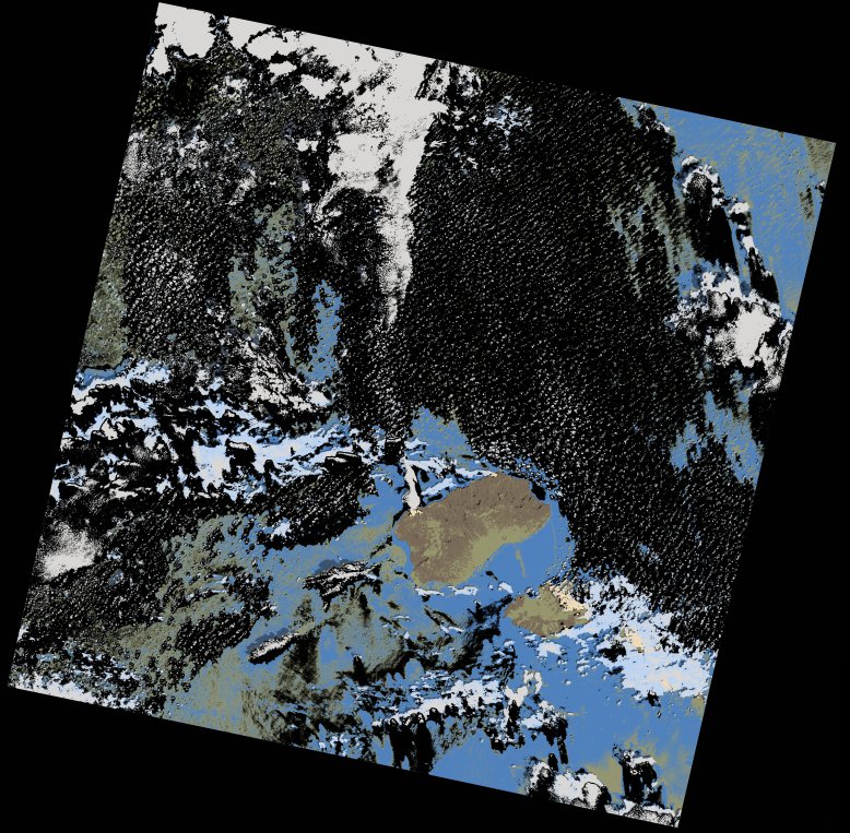
wofs_ls_211048_2017-10-06.stac-item
dataset of product wofs_ls
Indexed by odc_writer
,
created
Region
211048
for
6th October 2017
Fields 🔗
cloud_cover
25.76
collection_category
T1
creation_time
2021-09-01 00:50:56
crs_raw
•
data_coverage
•
dataset_version
1.0.0
eo_gsd
30.0
eo_sun_azimuth
135.245
eo_sun_elevation
59.095
format
GeoTIFF
id
19da1ecd-6577-57c4-972d-c4e2d53394d4
instrument
OLI_TIRS
label
•
lat
16.295 to 18.386
lon
-26.341 to -24.241
platform
landsat-8
product_family
wofs
region
•
region_code
211048
rmse
3.91
rmse_x
2.708
rmse_y
2.82
sat_orbit_state
•
sat_relative_orbit
•
time
2017-10-06 12:04:00 to 2017-10-06 12:04:00
Related Datasets 🔗
wofs_ls_211048_2017-10-06.stac-item