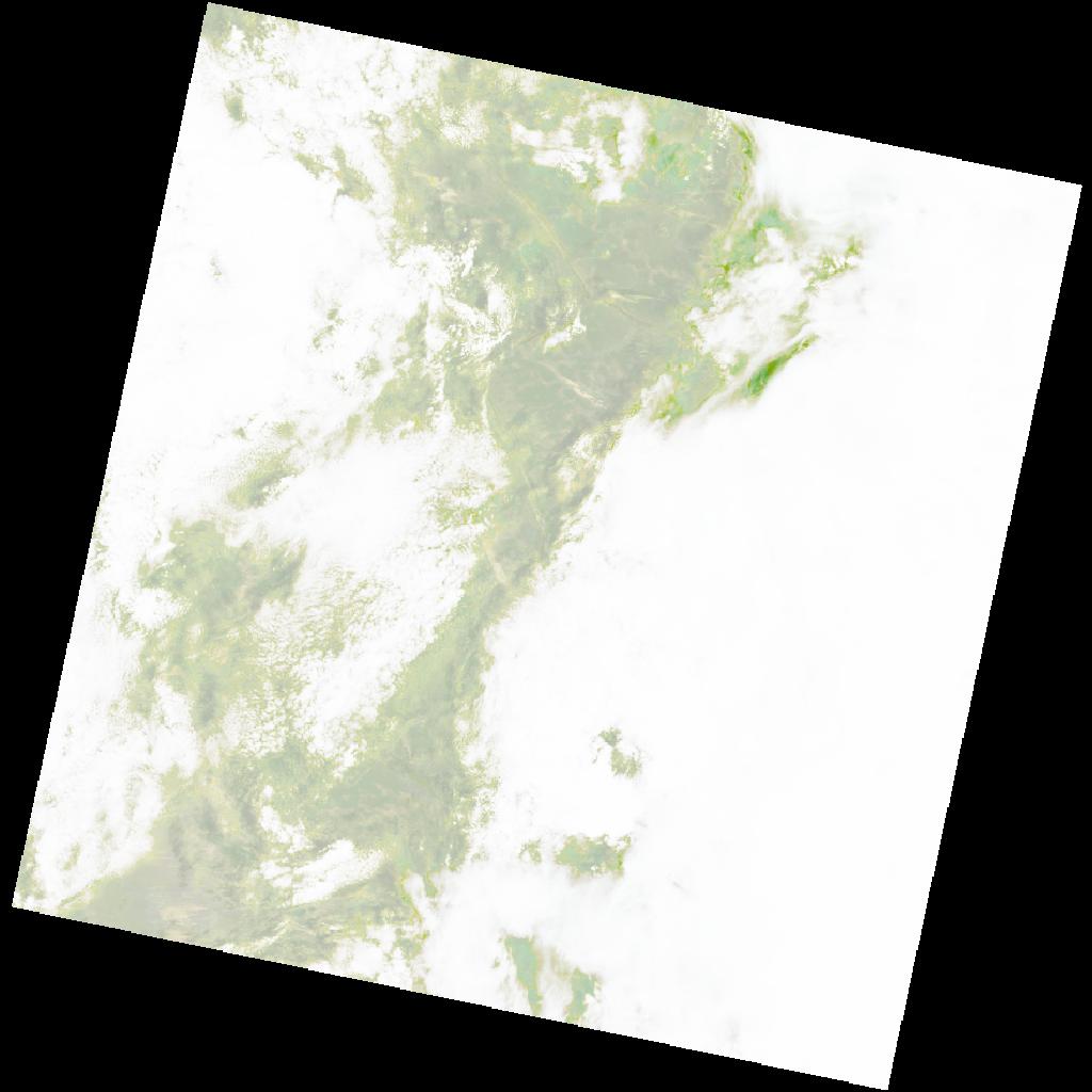
LC09_L2SP_177070_20211214_20220120_02_T1_SR_stac
dataset of product ls9_sr
Indexed by odc_writer
,
created
Region
177070
for
14th December 2021
Fields 🔗
cloud_cover
84.85
collection_category
T1
creation_time
2021-12-14 08:42:41
crs_raw
•
data_coverage
•
dataset_version
•
eo_gsd
•
eo_sun_azimuth
112.747
eo_sun_elevation
62.479
format
GeoTIFF
id
1926e9b8-265c-5437-8b1f-233413fe0aad
instrument
OLI_TIRS
label
•
lat
-15.504 to -13.416
lon
19.326 to 21.406
platform
LANDSAT_9
product_family
•
region
•
region_code
177070
rmse
6.784
rmse_x
4.407
rmse_y
5.158
sat_orbit_state
•
sat_relative_orbit
•
time
2021-12-14 08:42:41 to 2021-12-14 08:42:41
Related Datasets 🔗
LC09_L2SP_177070_20211214_20220120_02_T1_SR_stac