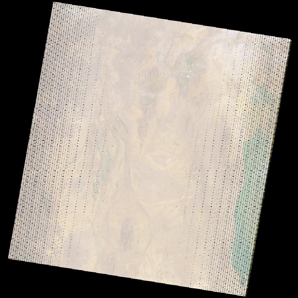
LE07_L2SP_170057_20211229_20220124_02_T1_SR_stac
dataset of product ls7_sr
Indexed by odc_writer
,
created
Region
170057
for
29th December 2021
Fields 🔗
cloud_cover
1.0
collection_category
T1
creation_time
2021-12-29 06:41:35
crs_raw
•
data_coverage
•
dataset_version
•
eo_gsd
•
eo_sun_azimuth
124.289
eo_sun_elevation
38.287
format
GeoTIFF
id
1508094e-c55c-5ac5-86d3-feabfb90f289
instrument
ETM
label
•
lat
3.418 to 5.273
lon
34.197 to 36.272
platform
LANDSAT_7
product_family
•
region
•
region_code
170057
rmse
4.579
rmse_x
2.95
rmse_y
3.502
sat_orbit_state
•
sat_relative_orbit
•
time
2021-12-29 06:41:35 to 2021-12-29 06:41:35
Related Datasets 🔗
LE07_L2SP_170057_20211229_20220124_02_T1_SR_stac