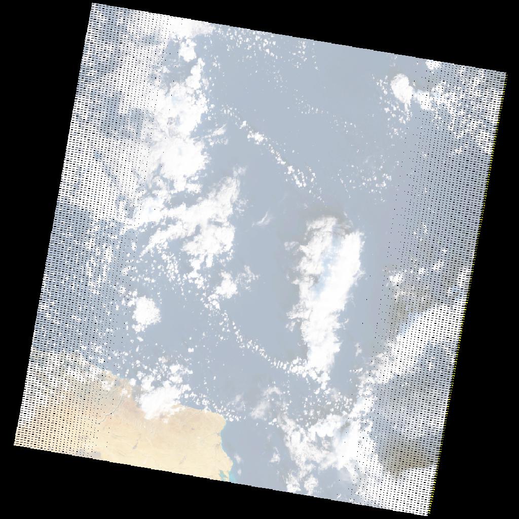
LE07_L2SP_182037_20211217_20220112_02_T1_SR_stac
dataset of product ls7_sr
Indexed by odc_writer
,
created
Region
182037
for
17th December 2021
Fields 🔗
cloud_cover
23.0
collection_category
T1
creation_time
2021-12-17 07:48:58
crs_raw
•
data_coverage
•
dataset_version
•
eo_gsd
•
eo_sun_azimuth
141.781
eo_sun_elevation
22.605
format
GeoTIFF
id
13996ef3-65e0-54ac-9ad1-72bee2a0cedb
instrument
ETM
label
•
lat
32.244 to 34.144
lon
22.075 to 24.577
platform
LANDSAT_7
product_family
•
region
•
region_code
182037
rmse
4.465
rmse_x
3.234
rmse_y
3.078
sat_orbit_state
•
sat_relative_orbit
•
time
2021-12-17 07:48:58 to 2021-12-17 07:48:58
Related Datasets 🔗
LE07_L2SP_182037_20211217_20220112_02_T1_SR_stac