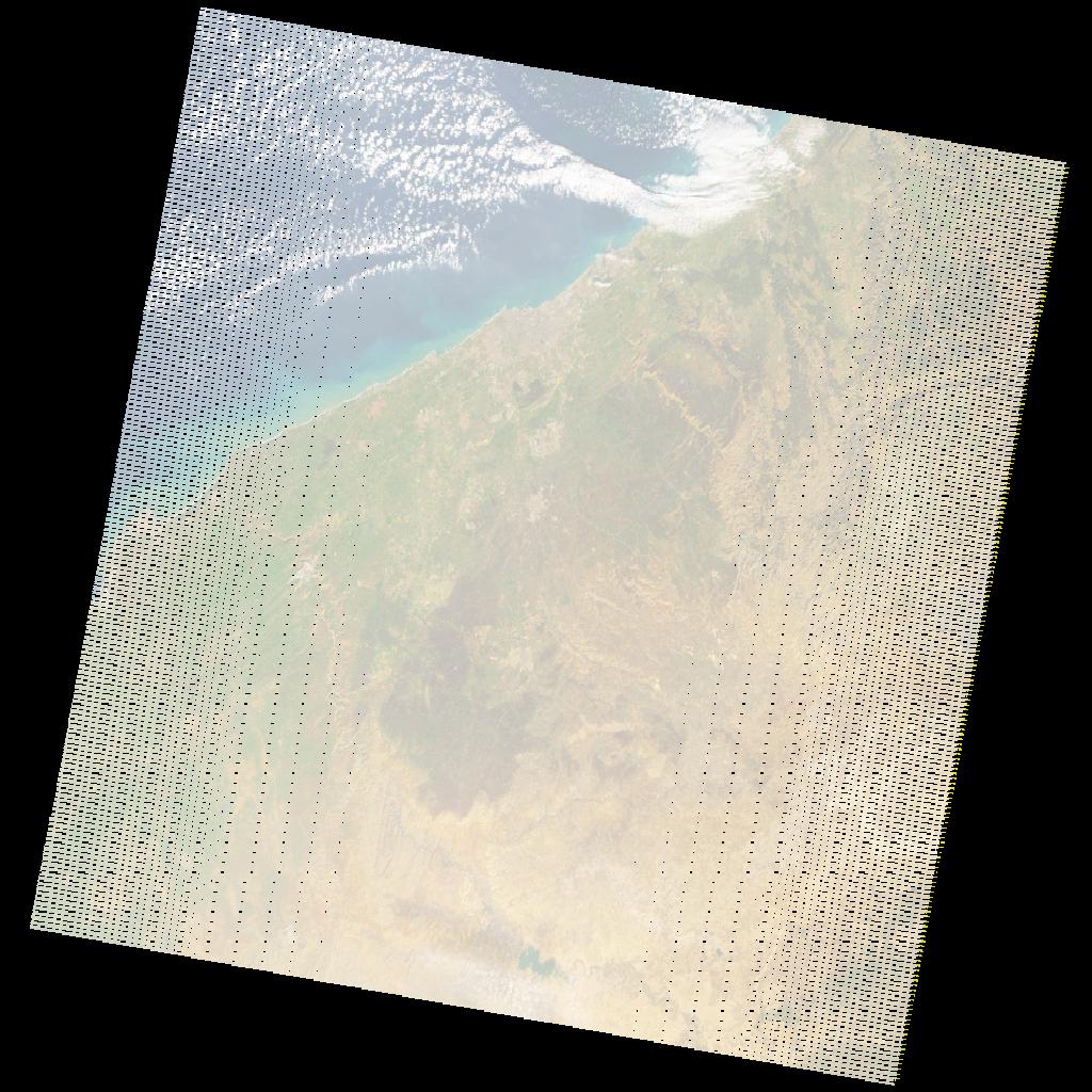
LE07_L2SP_202037_20201226_20210121_02_T1_SR_stac
dataset of product ls7_sr
Indexed by odc_writer
,
created
Region
202037
for
26th December 2020
Fields 🔗
cloud_cover
3.0
collection_category
T1
creation_time
2020-12-26 10:22:37
crs_raw
•
data_coverage
•
dataset_version
•
eo_gsd
•
eo_sun_azimuth
147.213
eo_sun_elevation
25.733
format
GeoTIFF
id
10cdee77-f47d-5267-a514-ee9c11f02fe4
instrument
ETM
label
•
lat
32.24 to 34.141
lon
-8.793 to -6.294
platform
LANDSAT_7
product_family
•
region
•
region_code
202037
rmse
4.651
rmse_x
3.287
rmse_y
3.291
sat_orbit_state
•
sat_relative_orbit
•
time
2020-12-26 10:22:37 to 2020-12-26 10:22:37
Related Datasets 🔗
LE07_L2SP_202037_20201226_20210121_02_T1_SR_stac