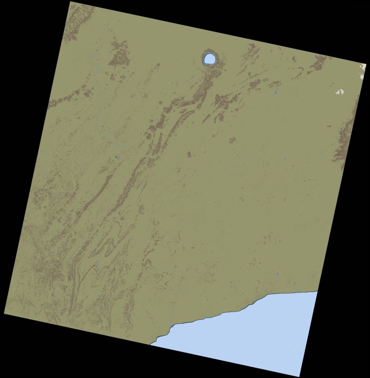
wofs_ls_194056_2021-12-21.stac-item
dataset of product wofs_ls
Indexed by odc_writer
,
created
Region
194056
for
21st December 2021
Fields 🔗
cloud_cover
8.26
collection_category
T1
creation_time
2023-05-04 06:41:38
crs_raw
•
data_coverage
•
dataset_version
1.0.0
eo_gsd
30.0
eo_sun_azimuth
140.462
eo_sun_elevation
51.586
format
GeoTIFF
id
104f29d1-5487-5eca-b7ea-41177357a26c
instrument
OLI_TIRS
label
•
lat
4.737 to 6.825
lon
-2.553 to -0.538
platform
landsat-9
product_family
wofs
region
•
region_code
194056
rmse
6.717
rmse_x
4.848
rmse_y
4.649
sat_orbit_state
•
sat_relative_orbit
•
time
2021-12-21 10:22:09 to 2021-12-21 10:22:09
Related Datasets 🔗
wofs_ls_194056_2021-12-21.stac-item