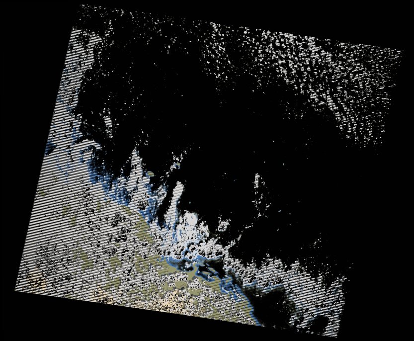
wofs_ls_170047_2020-11-24.stac-item
dataset of product wofs_ls
Indexed by odc_writer
,
created
Region
170047
for
24th November 2020
Fields 🔗
cloud_cover
21.0
collection_category
T1
creation_time
2021-09-01 02:40:11
crs_raw
•
data_coverage
•
dataset_version
1.0.0
eo_gsd
30.0
eo_sun_azimuth
141.285
eo_sun_elevation
40.483
format
GeoTIFF
id
102047cc-a8d4-55e3-aa4d-272d77077531
instrument
ETM
label
•
lat
17.86 to 19.736
lon
37.246 to 39.438
platform
landsat-7
product_family
wofs
region
•
region_code
170047
rmse
6.145
rmse_x
4.829
rmse_y
3.801
sat_orbit_state
•
sat_relative_orbit
•
time
2020-11-24 07:11:12 to 2020-11-24 07:11:12
Related Datasets 🔗
wofs_ls_170047_2020-11-24.stac-item