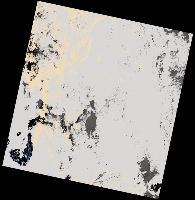
wofs_ls_172063_2022-12-30.stac-item
dataset of product wofs_ls
Indexed by odc_writer
,
created
Region
172063
for
30th December 2022
Fields 🔗
cloud_cover
93.09
collection_category
T2
creation_time
2023-01-01 23:31:15
crs_raw
•
data_coverage
•
dataset_version
1.0.0
eo_gsd
30.0
eo_sun_azimuth
127.437
eo_sun_elevation
57.034
format
GeoTIFF
id
0e64d0c4-a6d7-5b62-b63e-ef5c68ec66de
instrument
OLI_TIRS
label
•
lat
-5.386 to -3.3
lon
29.277 to 31.291
platform
landsat-9
product_family
wofs
region
•
region_code
172063
rmse
nan
rmse_x
nan
rmse_y
nan
sat_orbit_state
•
sat_relative_orbit
•
time
2022-12-30 08:09:08 to 2022-12-30 08:09:08
Related Datasets 🔗
wofs_ls_172063_2022-12-30.stac-item