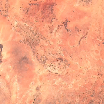
S2A_35PNS_20211119_0_L2A
dataset of product s2_l2a
Indexed by odc_writer
,
created
Region
35PNS
for
19th November 2021
Fields 🔗
cloud_cover
0.0
collection_category
•
creation_time
2021-11-19 08:46:12
crs_raw
•
data_coverage
100.0
dataset_version
•
eo_gsd
10.0
eo_sun_azimuth
•
eo_sun_elevation
•
format
GeoTIFF
id
0c5bb618-e9aa-5dde-af8b-f7df643d67a8
instrument
MSI
label
•
lat
14.382 to 15.377
lon
27.0 to 28.023
platform
sentinel-2a
product_family
•
region
•
region_code
35PNS
rmse
•
rmse_x
•
rmse_y
•
sat_orbit_state
•
sat_relative_orbit
•
time
2021-11-19 08:46:12 to 2021-11-19 08:46:12
Related Datasets 🔗
S2A_35PNS_20211119_0_L2A
... 6 more
Location 🔗
| AOT | AOT.tif |
|---|---|
| B01 | B01.tif |
| B02 | B02.tif |
| B03 | B03.tif |
| B04 | B04.tif |
| B05 | B05.tif |
| B06 | B06.tif |
| B07 | B07.tif |
| B08 | B08.tif |
| B09 | B09.tif |
| B11 | B11.tif |
| B12 | B12.tif |
| B8A | B8A.tif |
| info | https://roda.sentinel-hub.com/sentinel-s2-l2a/tiles/35/P/NS/2021/11/19/0/tileInfo.json |
| metadata | https://roda.sentinel-hub.com/sentinel-s2-l2a/tiles/35/P/NS/2021/11/19/0/metadata.xml |
| overview | L2A_PVI.tif |
| SCL | SCL.tif |
| thumbnail | https://roda.sentinel-hub.com/sentinel-s2-l1c/tiles/35/P/NS/2021/11/19/0/preview.jpg |
| visual | TCI.tif |
| WVP | WVP.tif |