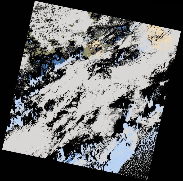
wofs_ls_210050_2021-12-05.stac-item
dataset of product wofs_ls
Indexed by odc_writer
,
created
Region
210050
for
5th December 2021
Fields 🔗
cloud_cover
54.12
collection_category
T1
creation_time
2023-05-05 15:59:53
crs_raw
•
data_coverage
•
dataset_version
1.0.0
eo_gsd
30.0
eo_sun_azimuth
148.861
eo_sun_elevation
47.085
format
GeoTIFF
id
0c1220a3-13be-5759-95fb-6abea7c3507a
instrument
OLI_TIRS
label
•
lat
13.406 to 15.496
lon
-25.445 to -23.372
platform
landsat-9
product_family
wofs
region
•
region_code
210050
rmse
7.821
rmse_x
5.435
rmse_y
5.624
sat_orbit_state
•
sat_relative_orbit
•
time
2021-12-05 11:58:46 to 2021-12-05 11:58:46
Related Datasets 🔗
wofs_ls_210050_2021-12-05.stac-item