Fields 🔗
cloud_cover
0.0
collection_category
T1
creation_time
2022-01-20 01:16:19
crs_raw
•
data_coverage
•
dataset_version
1.1.0
eo_gsd
30.0
eo_sun_azimuth
154.163
eo_sun_elevation
39.998
format
GeoTIFF
id
0af0ba10-9ec0-5d17-9c7b-890c371f7c4b
instrument
ETM
label
•
lat
26.49 to 28.376
lon
14.591 to 16.842
platform
landsat-7
product_family
fc
region
•
region_code
186041
rmse
3.787
rmse_x
2.732
rmse_y
2.623
sat_orbit_state
•
sat_relative_orbit
•
time
1999-11-15 09:19:20 to 1999-11-15 09:19:20
Related Datasets 🔗
Location 🔗
s3://deafrica-services/fc_ls/1-1-0/186/041/1999/11/15/fc_ls_186041_1999-11-15.stac-item.json
| bs | fc_ls_186041_1999-11-15_bs.tif |
|---|---|
| checksum:sha1 | fc_ls_186041_1999-11-15.sha1 |
| metadata:processor | fc_ls_186041_1999-11-15.proc-info.yaml |
| npv | fc_ls_186041_1999-11-15_npv.tif |
| pv | fc_ls_186041_1999-11-15_pv.tif |
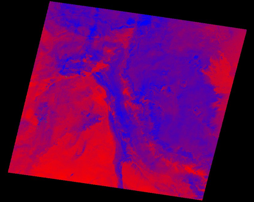
| thumbnail | fc_ls_186041_1999-11-15_thumbnail.jpg |
| ue | fc_ls_186041_1999-11-15_ue.tif |